Archives
Crossing the Tweed
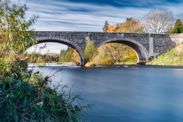
This sub-theme of Mapping the Tweed seeks to explore and record crossing places of the Tweed river and associated tributaries. Crossing points offer the opportunity to map communication routes through the landscape, and the ways these have changed through time in response to political, economic and environmental changes. Several of these may be extant bridges […]
Mapping the Tweed
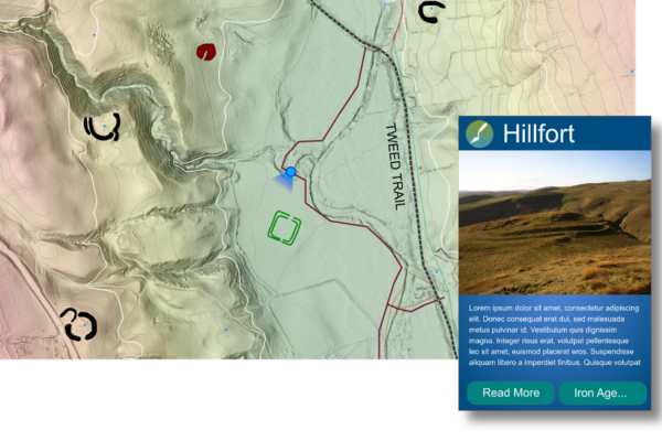
Mapping the Tweed is a sub-project at the core of the Uncovering the Tweed project. Using the aerial LiDAR data available for the project area, the archaeological mapping programme will create new content that can be used to present and promote the archaeology of the River Tweed Trail. The mapping programme will introduce participants to […]
Deserted Medieval Villages
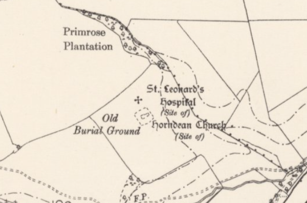
There are around 3000 known deserted medieval villages (DMVs) in Britain: settlements which were abandoned and eventually disappeared almost entirely. We can trace these lost villages through historic maps, archival records, and through the ephemeral remains visible on the ground, in LiDAR survey data, and through geophysical survey. Uncovering the Tweed has explored evidence for […]
Excavations at Adie’s Brae
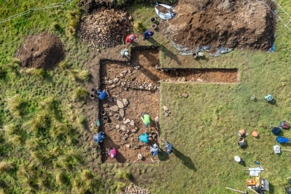
Excavations at a scooped settlement north of Moffat in October 2024 have helped shed light on life in Southern Scotland in prehistory. The landscape around Ericstane and Corehead, north of Moffat contains some very visible traces of the late prehistoric period, and represents a very good example of how prehistoric archaeology can survive around the […]
Geophysical Survey at Lyne and Easter Happrew
Prehistoric Lives
The Tweed catchment is rich in evidence of prehistoric lives, from the Upper Palaeolithic to the late Iron Age. Some of the earliest prehistoric evidence for the area includes lithic scatter sites. These include Scotland’s only Hamburgian settlement at Howburn Farm, representing nationally significant and rare evidence of Late Glacial (12,700-9,800 BC) activity. Lithic scatter […]


