A New Find at Fairnilee
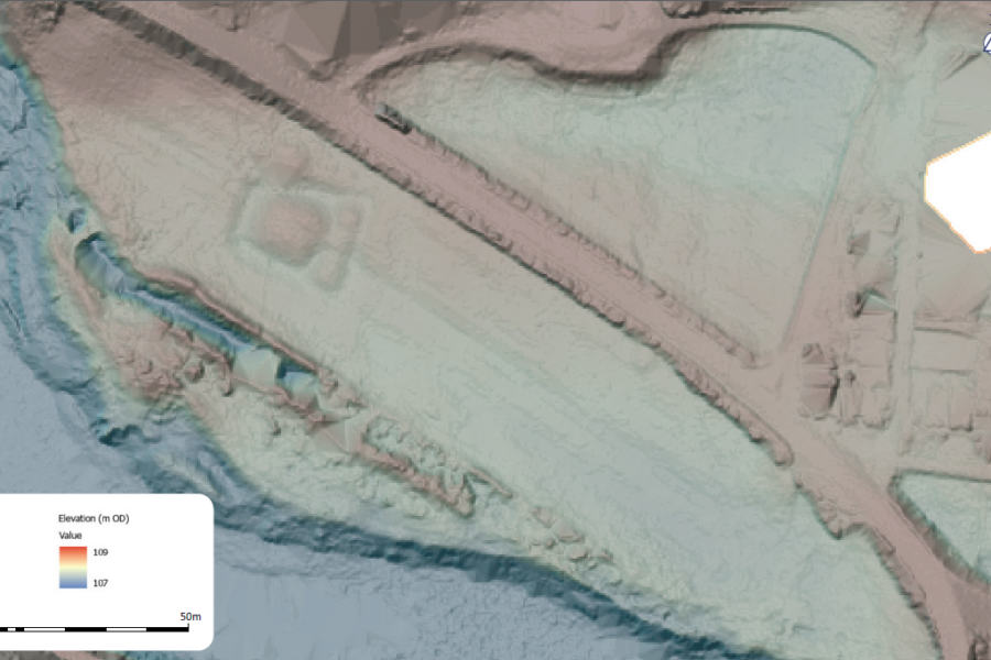
During analysis of LiDAR visualisations as part of Mapping the Tweed, the team came across a site which was previously unrecorded. It does not appear on historical mapping, and although the wider region has been subject to much archaeological survey in decades gone by, the site was not known among modern archive records either. What’s more, the site is clearly visible in aerial/satellite imagery – making it even more surprising that the site had never previously been recorded before now!
We are very grateful to the landowner and farmer for their generous cooperation and support, making it possible for us to carry out these surveys and excavations.
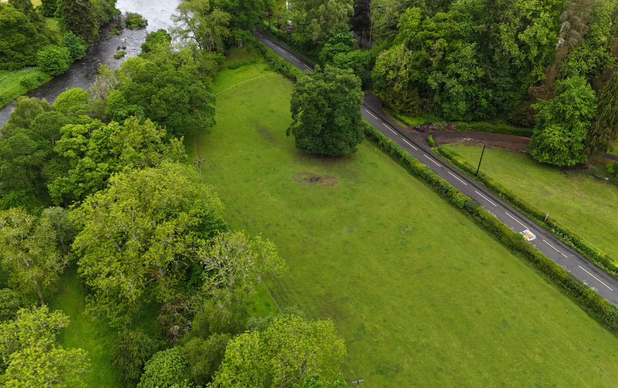
Situated on the raised northern bank of the Tweed at Fairnilee, around three miles SW of Galashiels, are the remains of a probable moated settlement. The site is indicated by sub-rectangular ditch surrounding a pronounced square mound c.16m square. The surrounding moat is indicated by a shallow ditch around 5m wide, describing a near trapezoidal shape in plan; the shorter, western end is c.15m long while the wider, eastern end measures c.25m. The enclosed area measures around 32m from W to E. A narrow causeway runs between the main mound and a separate bank to the west which forms an unusual outer work, presumably at the entrance to the settlement, itself in turn surrounded by the perimeter ditch.
A faint outer bank surrounds the enclosure, presumably representing upcast from the ditch. A substantial oak tree is growing on the NW corner of the earthwork, overlying the outer bank.
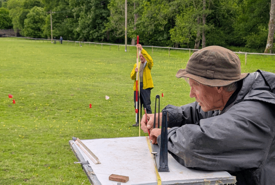
The site was surveyed using plane table and dGPS, with volunteers from the Uncovering the Tweed project on 29th May 2025. The results were used to create a detailed plan of the site with profiles across the surface of the site depicting the hollows of the ditches and higher raised platform in the centre.
Geophysical Survey
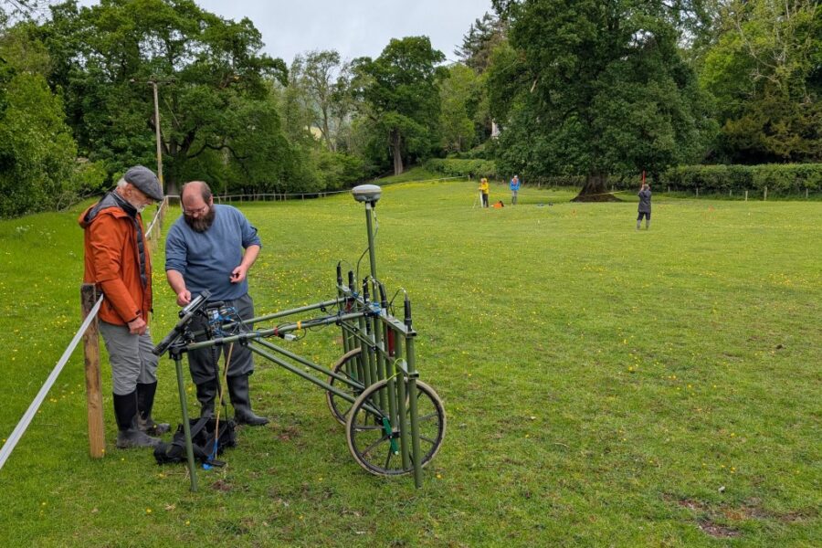
A magnetometry survey was also conducted using a Sensys MXPDA cart system. The results of the magnetometry were inconclusive; the field containing the earthwork evidently contains a substantial quantity of ferrous or heat-affected material, likely debris related to the nearby farm and former mill, which has masked any evidence of archaeological features.
The makeup of the mound is primarily soil, stone and turf, similar to the surrounding geology, suggesting that the mound is formed of local materials rather than imported stones which would be different in magnetic signature.
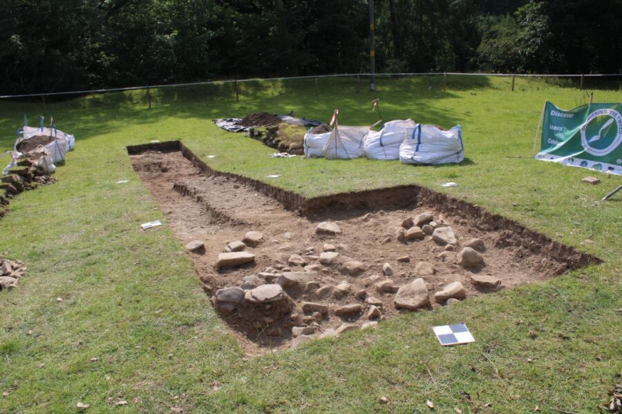
Phase 1 Excavations
Some small-scale excavation in August 2025 indicated that the settlement most likely represents a moated settlement of the medieval period, although the format is relatively unusual in the regional context. The enclosed mound may have supported a tower, the remains of which have now been completely removed or, perhaps more likely, a timber fortification but there were no foundations identified in the trench.
A fragment of pottery has been confirmed to relate to the medieval period, indicating there could have been activity here during this period, but otherwise, firm dating evidence is scant!
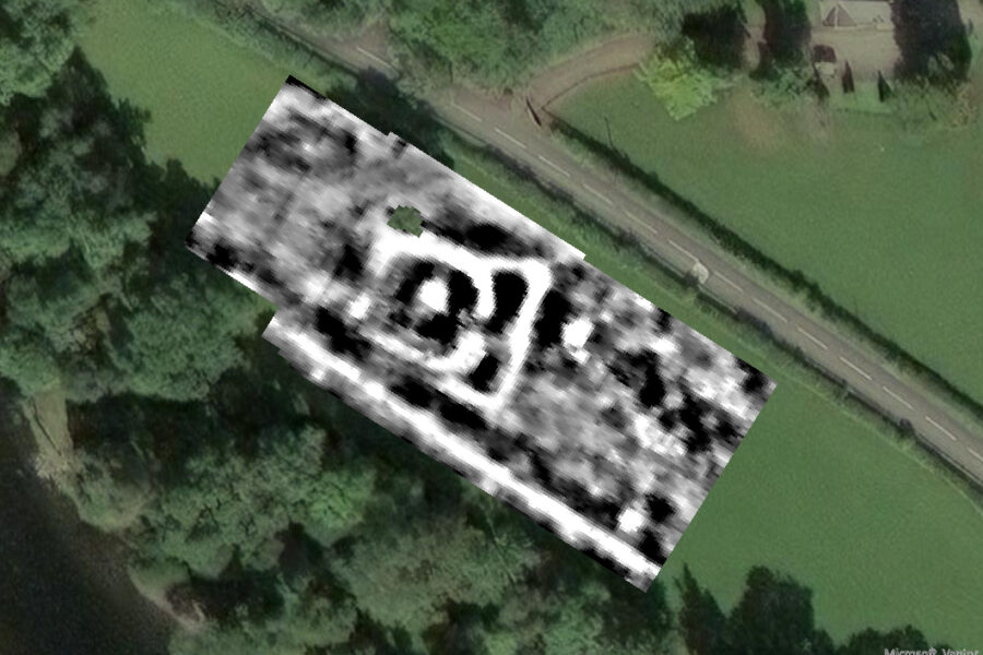
More Geophysical Survey
A resistivity survey and Ground Penetrating Radar (GPR) survey undertaken in February 2026 had much more success. The resistivity survey detected both of the ditches, showing that the southern perimeter ditch runs parallel to the main C-shaped enclosure and is continuous on the eastern side. This could indicate that access across the perimeter ditch was via a bridge to the causeway into the C-shaped main enclosure. The GPR survey indicated that there are strong responses on the edges of the ditches but no particular anomaly that could be confidently linked to the foundations of a tower. These surveys have provided useful information to guide where to position trenches for further excavation.
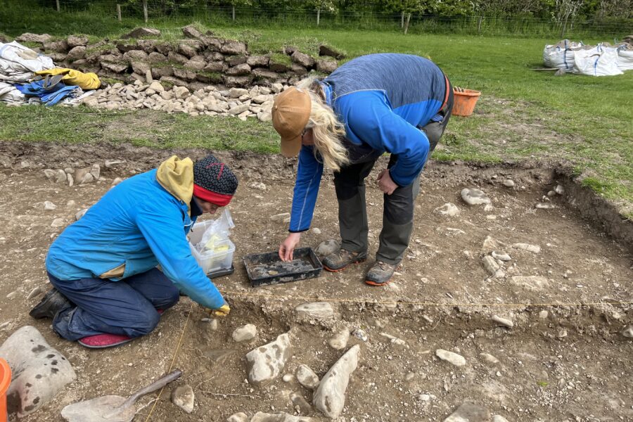
Phase 2 Excavations
A larger section of the mound and a second section of the outer ditch was excavated during a second phase of work in 2026. The excavation of the mound confirmed that it was created from upcast material likely from the ditch to form a level surface. The structural evidence would suggest that the building would have been primarily timber built, but the exact size and shape of the building could not be determined. The outer ditch was V-shaped in profile and the basal fill shows evidence of clay being formed, followed by evidence of numerous flooding events having filled in the ditch. Artefacts were limited in number but included sherds of fine lead-glazed ceramic, iron objects, stone loomweight, ceramic loomweight/spindlewhorl and multiple (presumably redeposited) worked flints. Samples were collected from the ditch fills and surface of the mound and may provide suitable
material for radiocarbon dating.
We are now working on the post-excavation analysis and preparing the final report for Fairnilee, and will share more information as it becomes available.
Further reading
Other similar sites in the Borders include Muirhouse Law, near Maxton, and Dykeheads, near Hawick:
Read about Muirhouse Law on Trove
Reports on Fairnilee produced as part of this project so far:
Read AOC’s report on the first phase of survey work at Fairnilee