Excavations at Horndean
Excavations at the site of a supposed deserted medieval village near Horndean in July 2024 have revealed exciting new discoveries about life on the Tweed in the medieval period.
Around 700m east of the current village of Horndean lie the remains of a medieval church. While traces of the church are visible above the ground, it has long been believed that a village and hospital also lay nearby. Uncovering the Tweed has undertaken geophysical survey and excavations to shed a little light on one of the area’s past settlements.
We are most grateful to the landowners, the Sloan family, who have been farming at Horndean for many years. They generously allowed us to undertake the work despite the field being in crop at the time of the excavations, and have been encouraging and accommodating throughout.
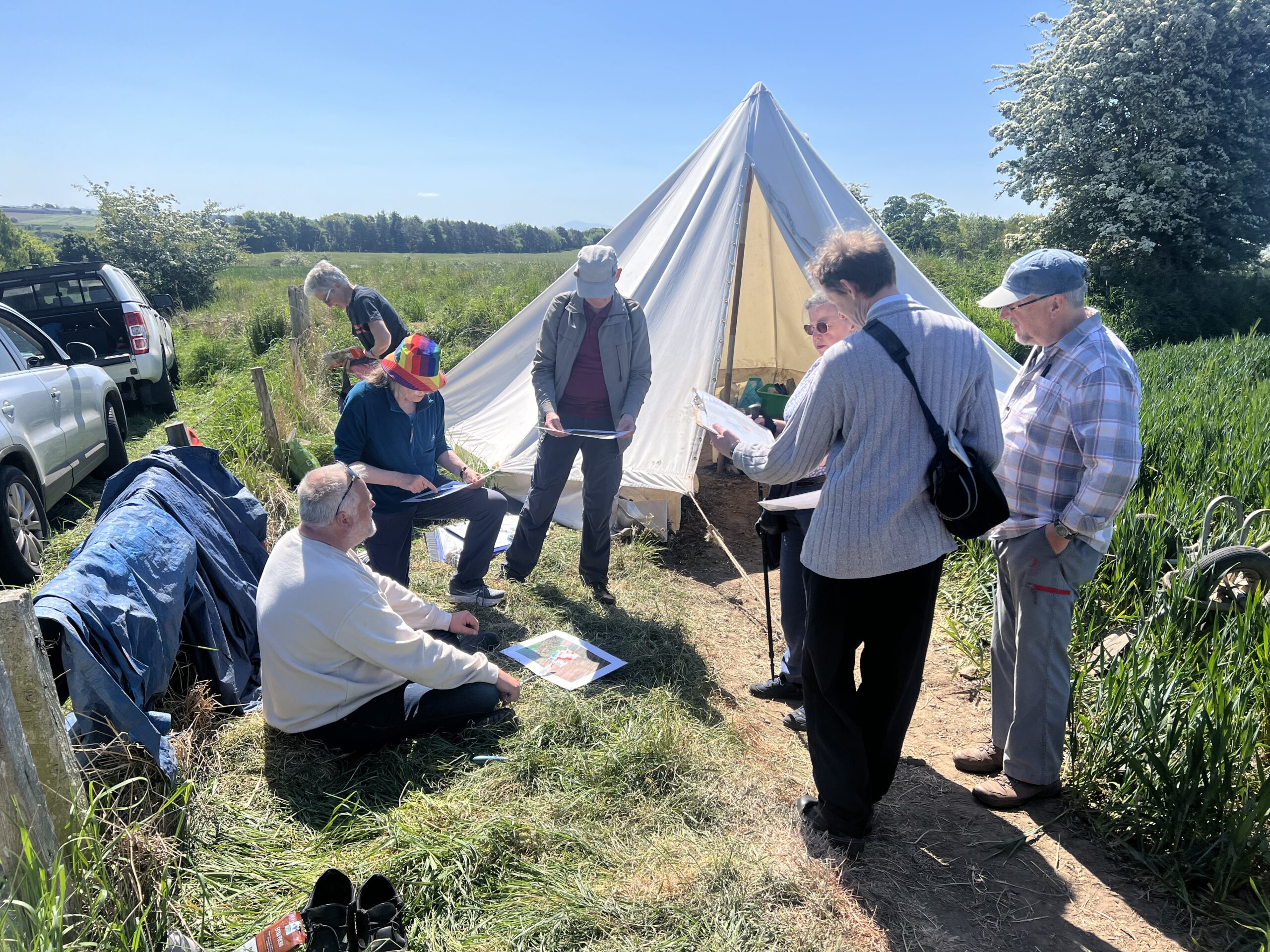
We should mention also everyone at Swinton Primary School, who joined us onsite, taking part in the excavations (and making some excellent discoveries of medieval pottery, no less!) and environment-focussed learning with Jenny from the TweedWATCH project. We also hosted a group of young adults from Borders Additional Needs Group, who did an excellent job contributing to excavating and recording.
AOC are working away at the post-excavation process now: sieving soil samples, having specialist analysis undertaken on various samples and artefacts, and so on. We will share more detailed updates as they become available, and the full report will be available for download in due course. What follows is a summary based on initial findings.
You can also find out more about the project via a recording of Project Manager Cathy MacIver’s presentation at the Edinburgh, Lothian and Borders Archaeology Conference in November 2025 (10 minutes long):
Horndean in the Archives
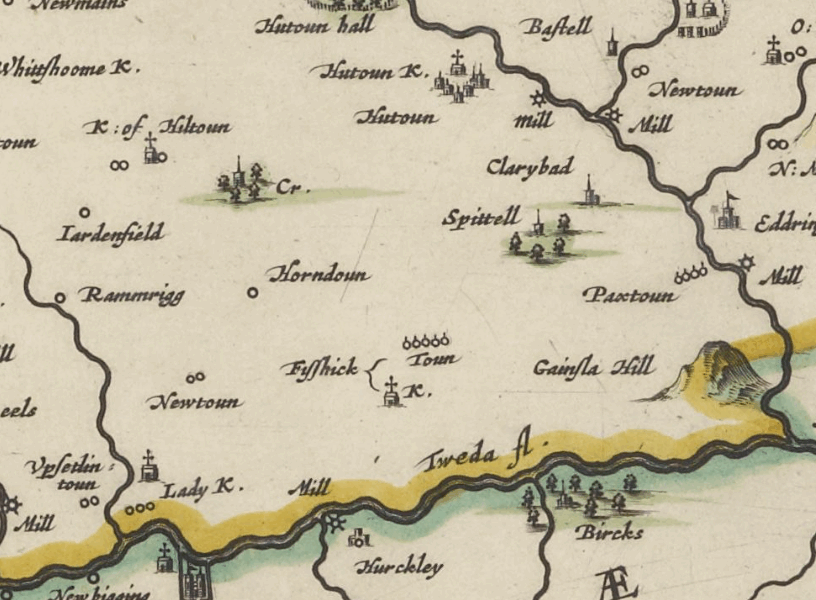
The earliest known mention of a settlement at Horndean is found within a writ thought to have been produced in around AD 1118. There are also records of a hospital in the area: in about AD 1240, Robert Byseth, Lord of Upsetlington, granted the Hospital of St Leonard to Kelso Abbey; the hospital was to be founded in his territory opposite Horwerden (Horndean). It is also mentioned in around 1300 as held by Kelso, with provision for a chaplain and two poor people.
Recent documentary research and a re-translation of the Latin Charter by Piers Dixon clarified that the hospital is actually likely in nearby Upsettlington rather than in Horndean. Review by John Gilbert confirmed the translation and that the Charter only mentions Horndean as a general geographical reference which must have led to it being marked approximately nearby on the historic maps. The earliest depiction of Horndean on a map appears to be in Blaeu’s Atlas of Scotland, 1654, which shows ‘Horndoun’ and, to the east of it, ‘Spittell’ (hospital).
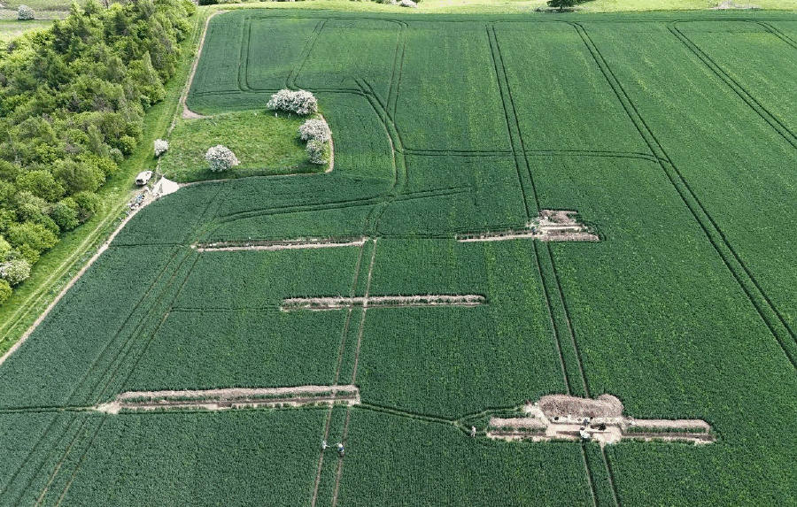
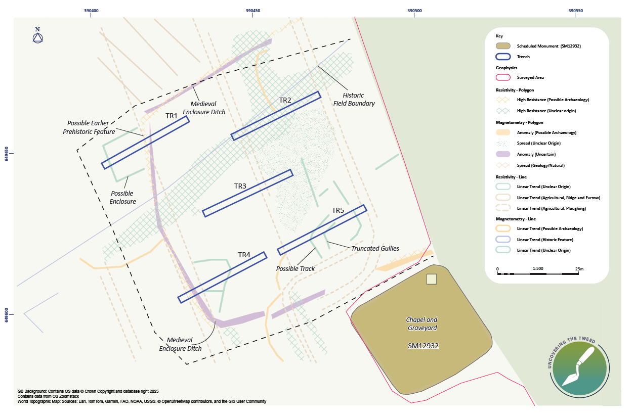
In late 2024, AOC carried out geophysical survey at Horndean, focussing on the areas to the north, south and west of the church site, where the village and hospital are thought to have been located. This revealed a variety of anomalies representing both natural and archaeological features.
The image below shows a plan of the site, with anomalies as identified in the geophysical survey data, overlain by the outline of trench locations
Excavations
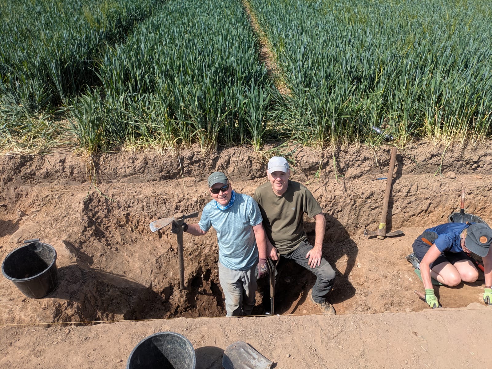
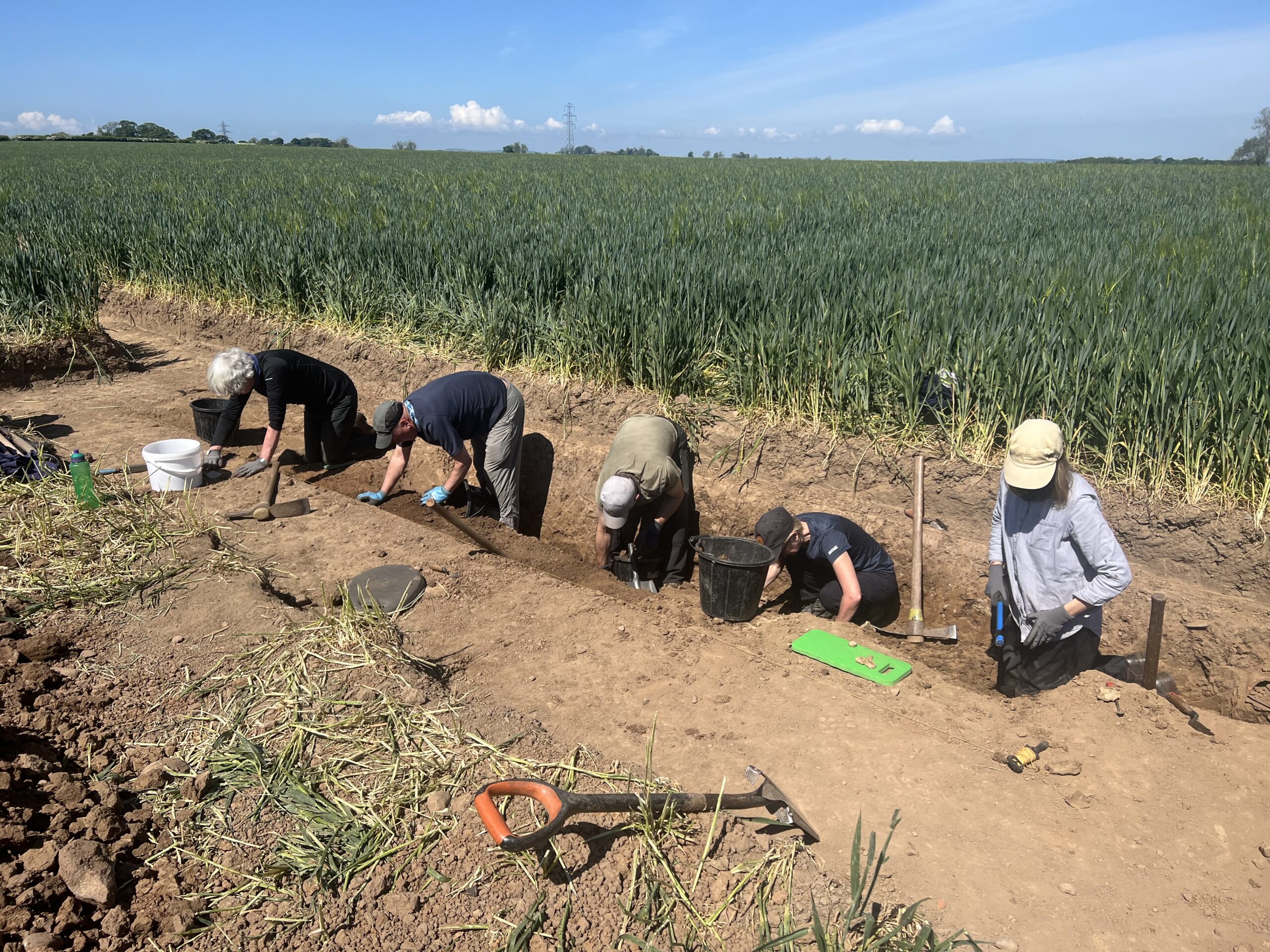
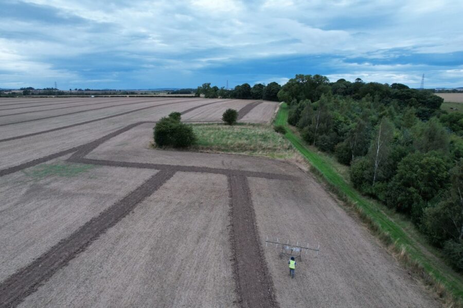
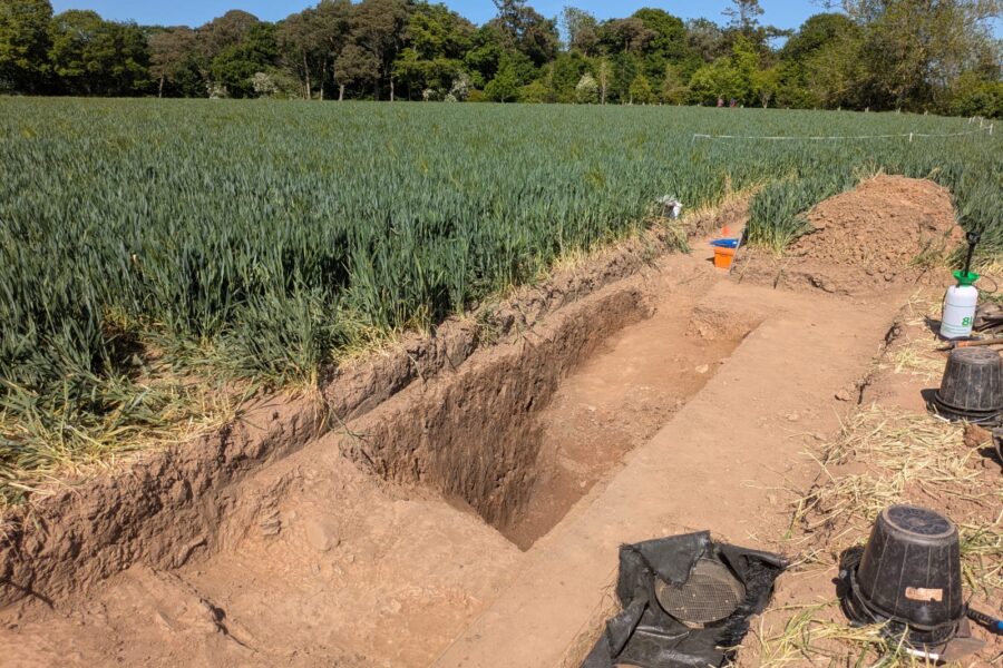
The results of the geophysical survey were used to inform a programme of excavations. Five long, narrow trenches were opened, positioned to target some of the anomalies identified through geophysical survey.
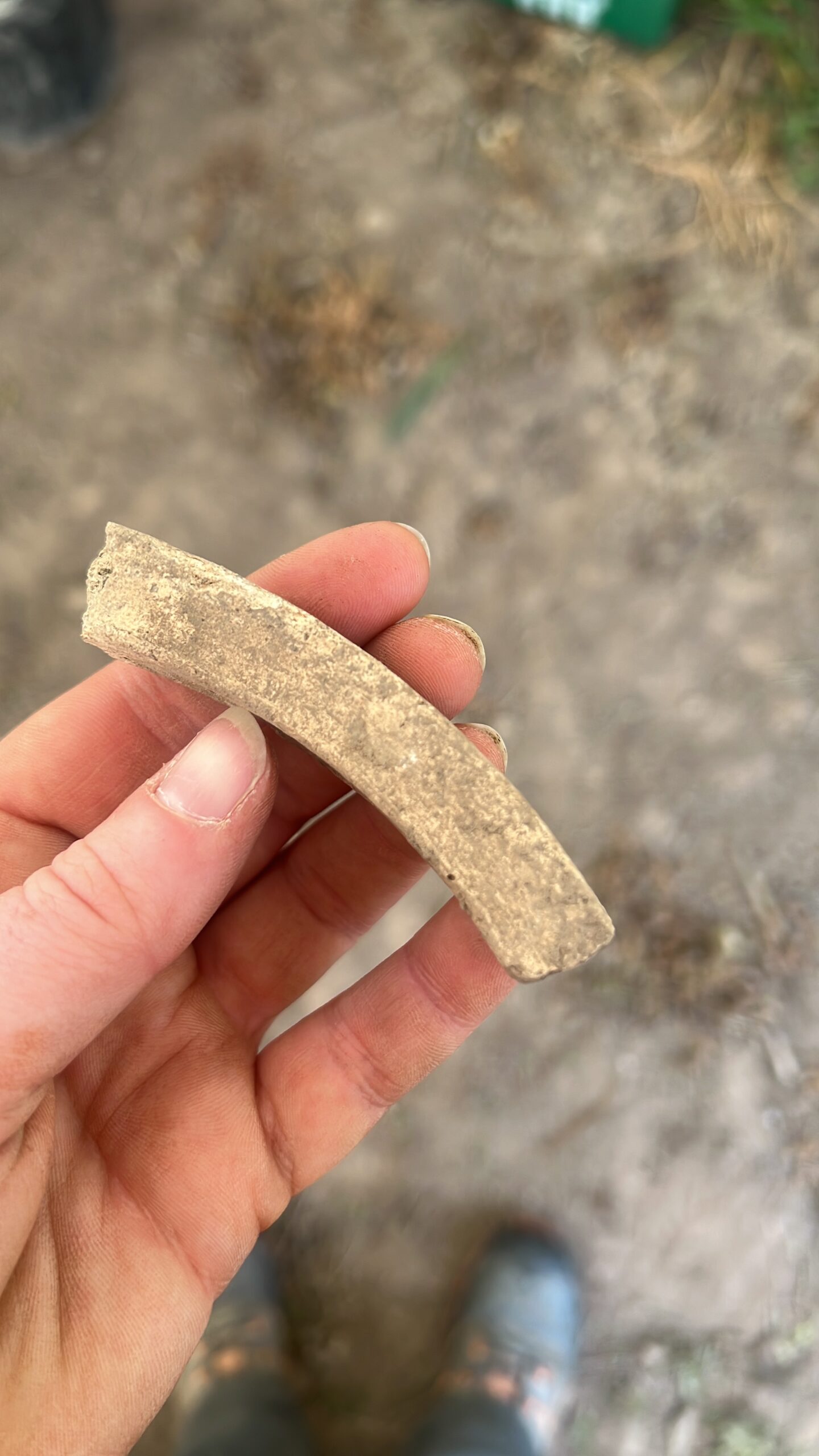
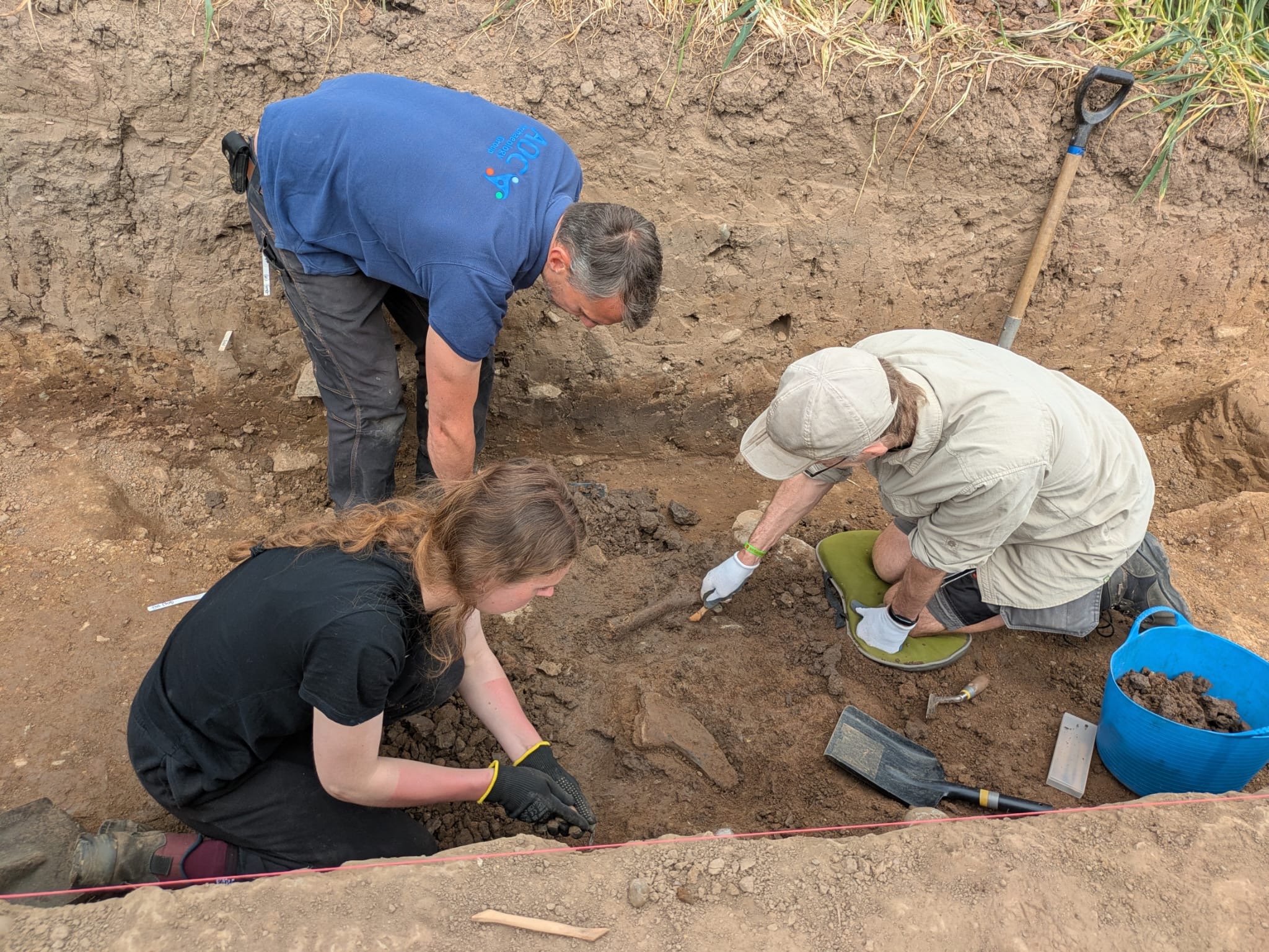
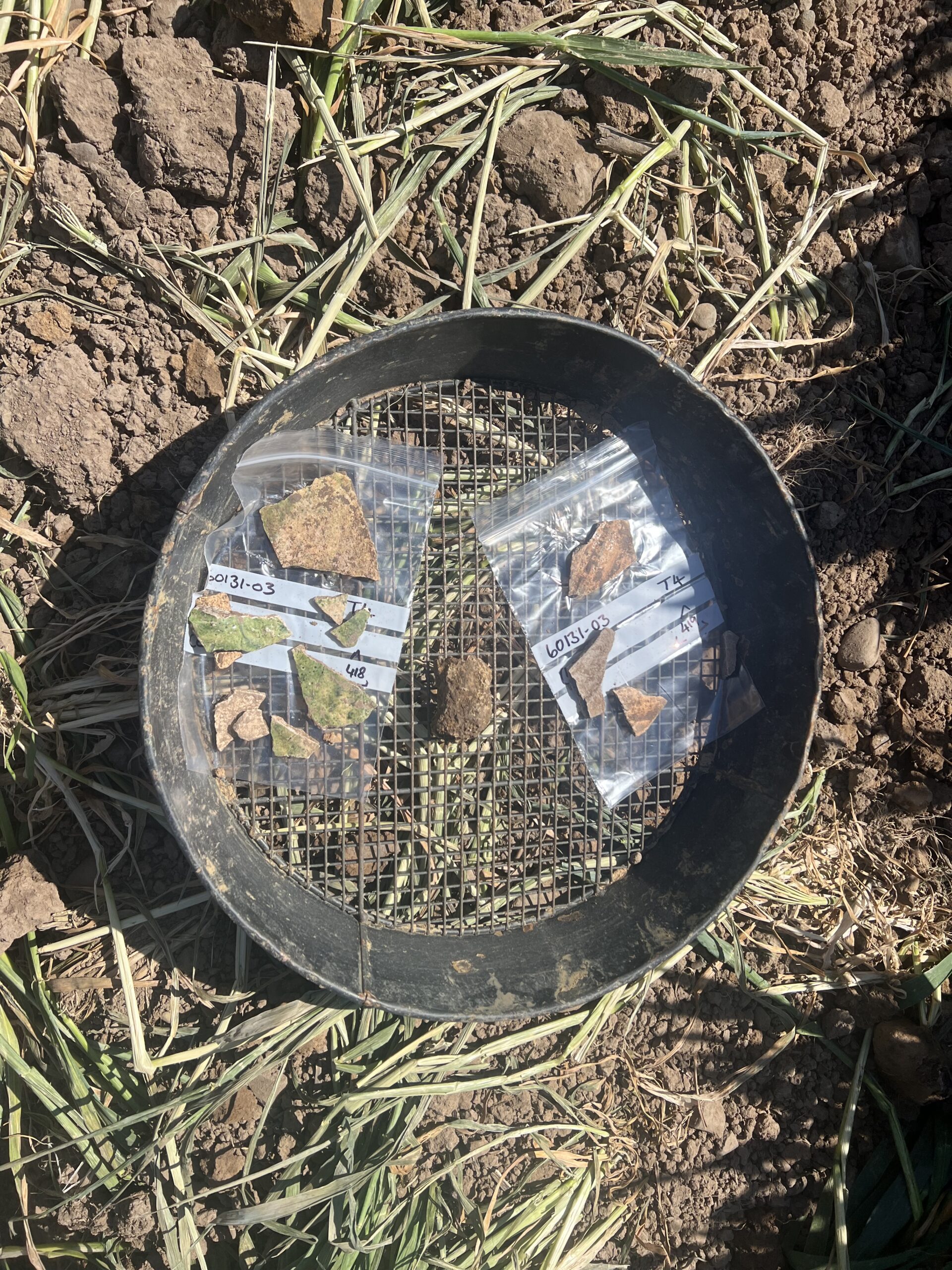
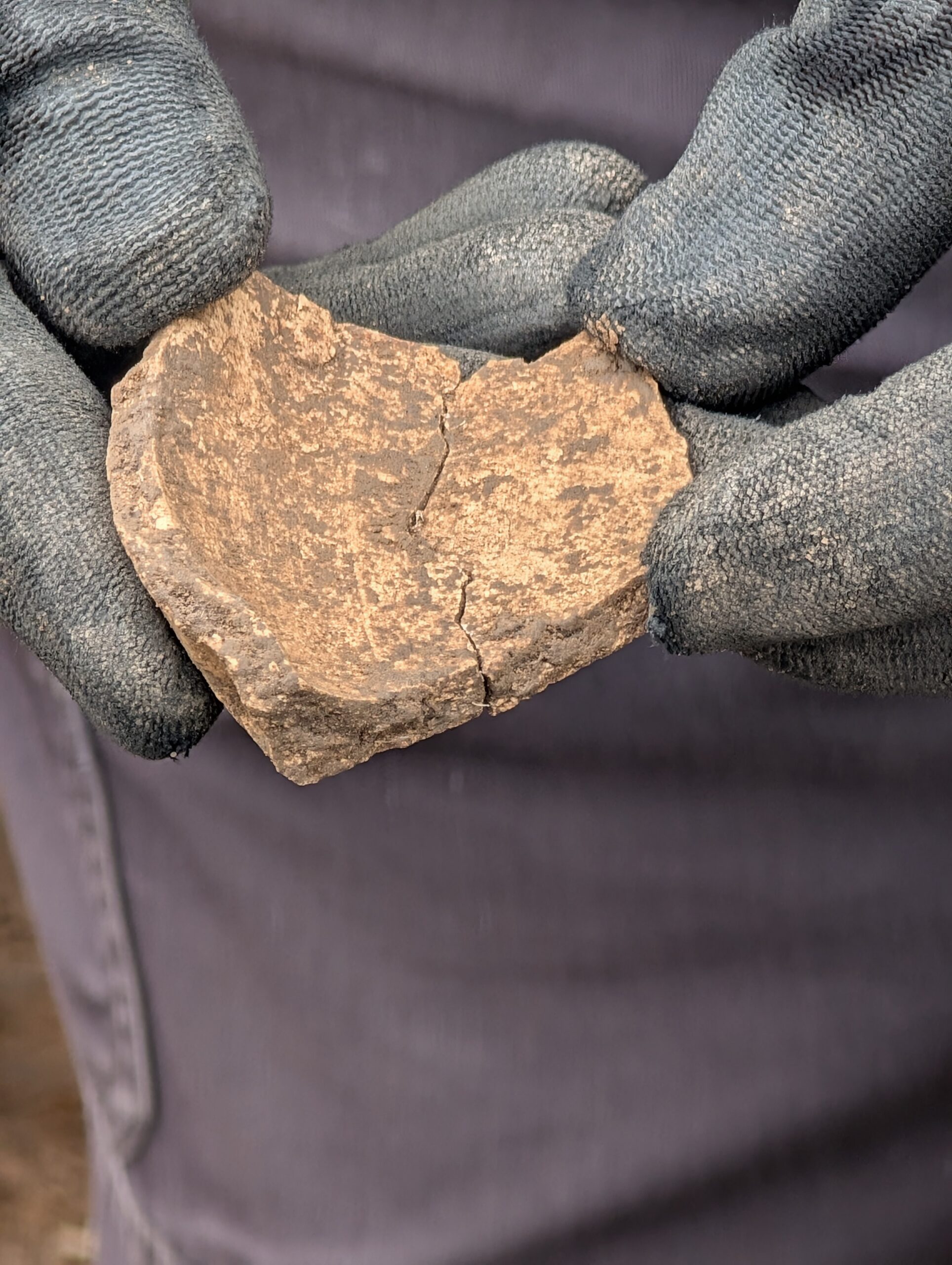
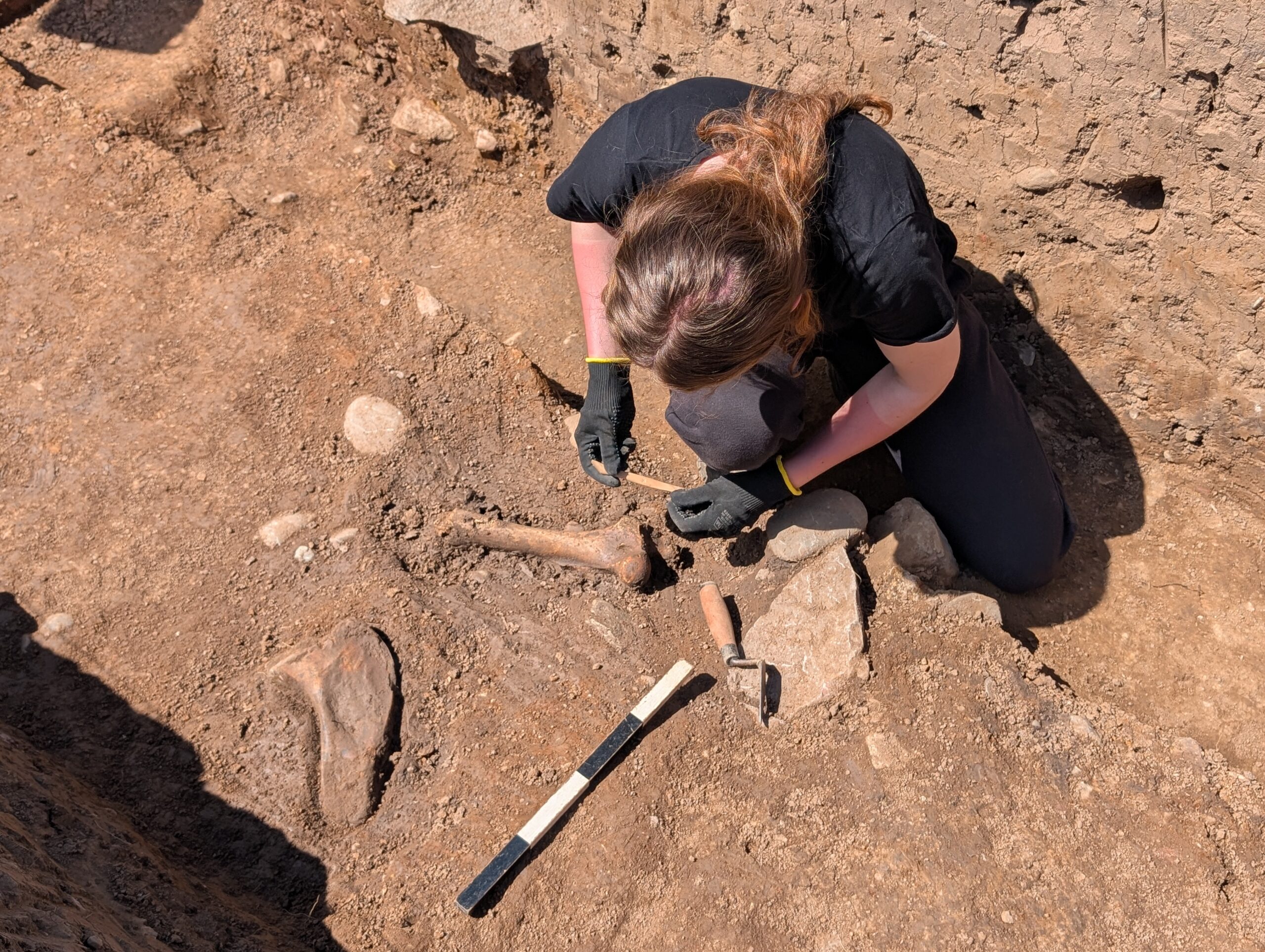
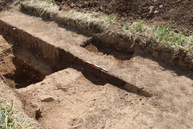
Two trenches – Trench 1 and Trench 4 – were positioned to target a large sub-rectangular anomaly identified in geophysical survey data as a probable ditch forming the boundary of an enclosure. On excavation, this theory proved to be correct: a substantial ditch, over a metre deep with a bank on its interior edge, likely formed by upcast material from the digging of the ditch. The fill yielded a range of finds including animal bone of a range of species, and medieval pottery from a secure context at the base of the ditch, making it likely that the ditch itself is medieval. Evidence of a period of re-cutting and clearing the ditch perhaps indicates a period of change or reuse during its lifetime.
You can explore the ditch in 3D via the Sketchfab model below:
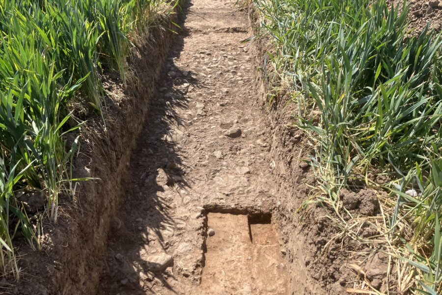
A stone-rich deposit probably representing a metalled surface (a level surface made of small pieces of stone) was identified in Trench 5. This might be interpreted as a track running between structures towards the church enclosure.
Also within Trench 1 were traces of a linear feature cut into the natural subsoil, with possible later prehistoric pottery in its fill. Although only a small section survives it has been tentatively speculated that the gully could be all that remains of an earlier, currently undated, structure. The site’s position, sitting on a flat terrace overlooking the surrounding land near the Horndean and River Tweed, would have been a sought after settlement location from prehistory onwards.
Initial conclusions
The scale of the enclosure ditch suggests that it enclosed a significant site, likely in association with the nearby church which the enclosure’s position appears to respect.
The initial stages of post-excavation work so far have confirmed the presence of Scottish White Gritty ware pottery (produced from the 12th century onwards) as well as some Scottish medieval redware fabrics, likely produced from local clays. The animal bone assemblage represents a mix of species such as cattle, sheep/goat, pig and horse. Butchery marks were evident on some of the bones and this could indicate disposal of processed carcasses and cooking waste.
All of this points towards the discovery of a relatively well-preserved medieval rural settlement dating to at least the 12th-13th centuries AD, potentially a little earlier. The shape of the enclosure in plan is reminiscent of a moated enclosure but the scale of it combined with the v-shaped profile of the ditch and the upcast bank on the interior are not in keeping with the raised flat interior of a moated site. Perhaps the settlement, located so close the border with England during a tumultuous period in history, required a substantial enclosure to defend the community within.
The animal bone assemblage is rare for a Scottish site as these materials often don’t survive well and the pottery is similar to other rural sites in the region such as Springwood Park, Kelso and Eyemouth. This is a really exciting development as it both feeds into our understanding of ongoing work at Upsettlington and also means the project has identified coherent evidence for enclosed medieval rural settlement, likely associated with the church. It is often to identify or find good surviving examples of these in agricultural zones so a valuable discovery that will feed into the regional research framework.
Further reading
Dixon, P (2003) “Champagne country: a review of medieval rural settlement in Lowland Scotland”.
SESARF chapter on Medieval Rural Settlement