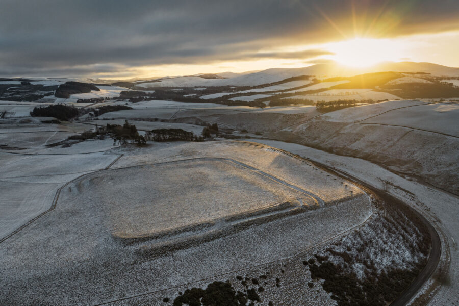
Geophysical Survey at Lyne and Easter Happrew
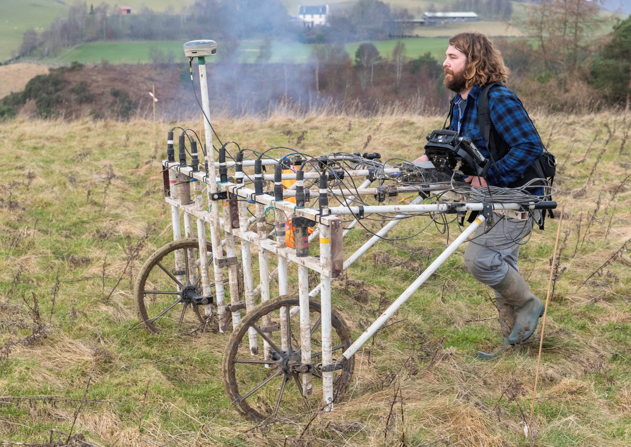
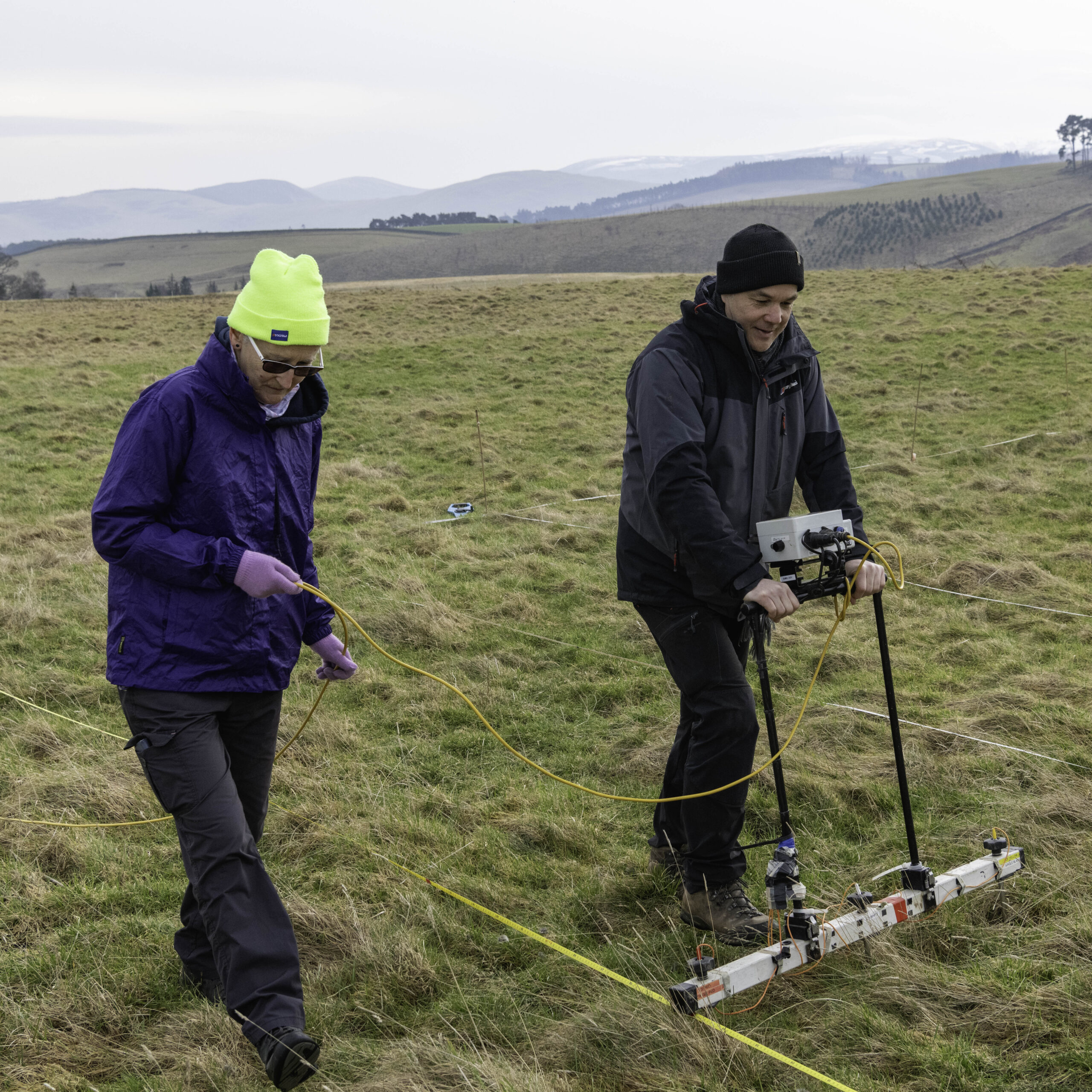
Uncovering the Tweed has been working with the Trimontium Trust to help them further their research aims to better understand the landscape of southern Scotland during the Roman period. In early 2025, archaeologists and volunteers undertook geophysical surveys at two Roman forts near the Tweed: at Lyne, and Easter Happrew.
The fort at Lyne was first recorded at the end of the 17th century, and first excavated in 1900.
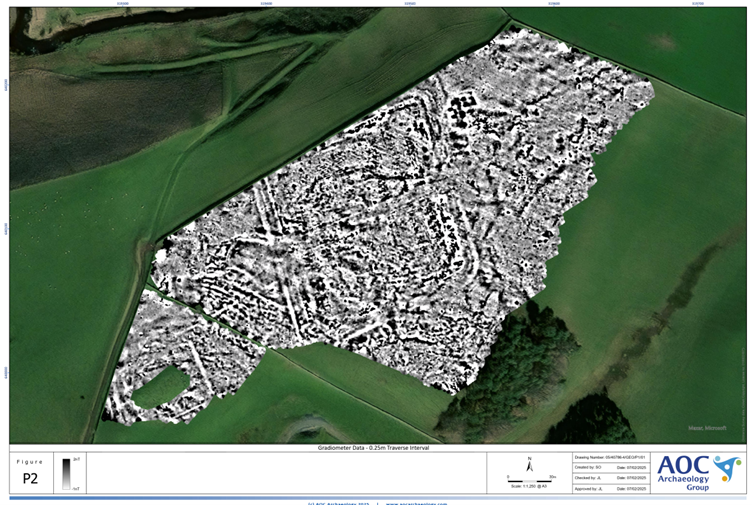
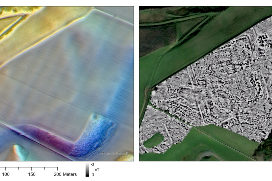
The fort is defined by a large rampart built of turf and earth with a kerb of boulders, with one to three ditches along different edges of the fort forming additional defensive features. Within the fort buildings, including a principia, granary and commandants house, were identified built of red sandstone.
It is likely that the fort at Lyne was built in the Antonine period (mid to late 2nd century AD) and only occupied for a short period of time.
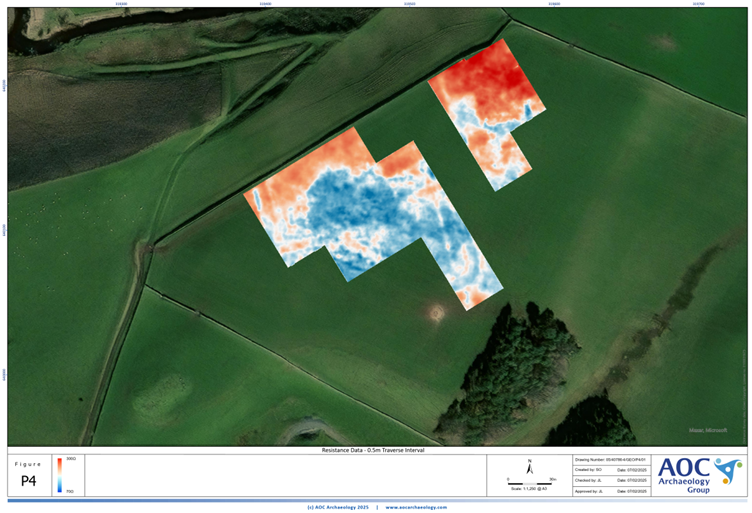
The fort at Easter Happrew was first identified on aerial photographs in the 1950’s and some excavation was undertaken in 1956 confirming the fort was rhomboidal in plan.
Finds from the area around the site could indicate the presence of activity such as a vicus or annexes. The finds that are datable confirm Flavian activity (late 1st century AD).
It seems likely that this fort was established during the Agricolan invasion, and may have been abandoned in favour of Lyne shortly after AD 86.
Geophysical survey at both forts has confirmed the location of the main features and revealed lots more detail than previously understood from aerial photographs and targeted excavations. The survey work is ongoing and the resulting report and interpretation will be available to download here in due course.
Further Reading
Steer, K A. (1959a) ‘The Roman fort at Easter Happrew, Peeblesshire’, Proc Soc Antiq Scot, vol. 90, 1956-7.
Steer and Feachem, K A and R W. (1964) ‘The excavations at Lyne, Peeblesshire, 1959-63’, Proc Soc Antiq Scot, vol. 95, 1961-2.