Mapping the Tweed
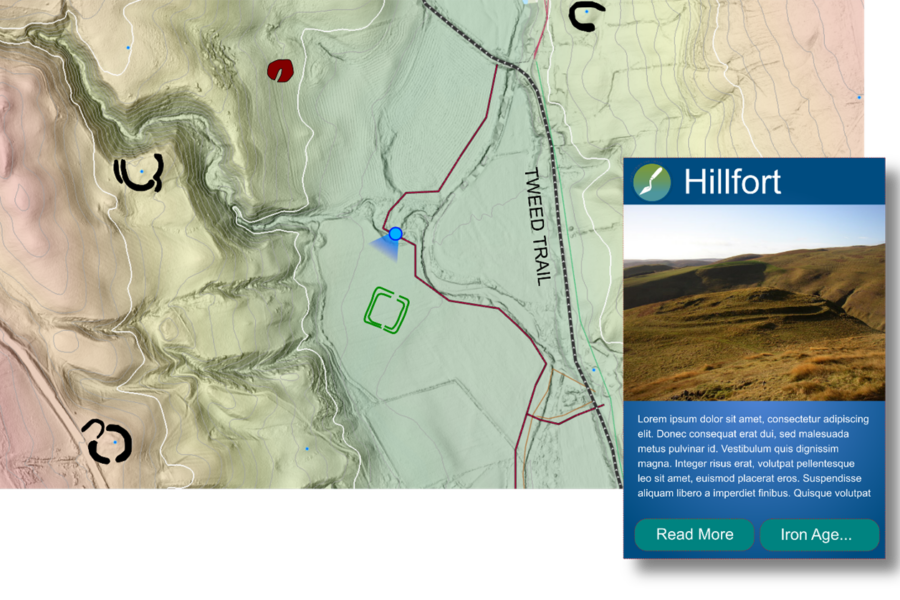
Mapping the Tweed is a sub-project at the core of the Uncovering the Tweed project. Using the aerial LiDAR data available for the project area, the archaeological mapping programme will create new content that can be used to present and promote the archaeology of the River Tweed Trail. The mapping programme will introduce participants to the archaeology of the Tweed landscape, provide a diverse range of training opportunities and produce graphics and interpretation that will be invaluable in the presentation of the region’s archaeology to the public.
All other sub-projects of the UtT initiative will feed into the Mapping the Tweed project, with the results feeding into a heritage explorer map valuable both for future heritage research and for interpretation.
-
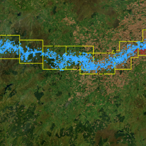
LiDAR Analysis
Analysis of LiDAR data for the whole project area has resulted in the discovery of over a hundred potential archaeological sites, never previously recorded.
-
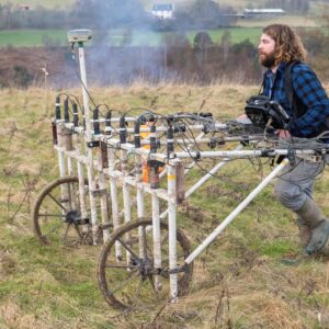
Geophysical Surveys
As part of the Mapping project volunteers have participated in geophysical surveys at various sites including two Roman forts located near the Tweed, at Lyne and Easter Happrew.
-
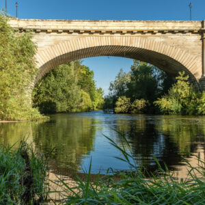
Crossing the Tweed
Join us in exploring the many and varied crossing places of the Tweed and its tributaries