Prehistoric Paxton
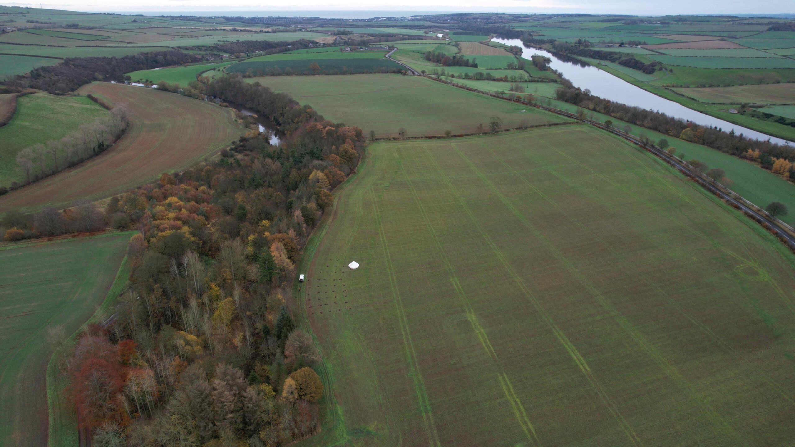
Paxton is located close to the confluence of the Whiteadder and the Tweed, leaving a narrow strip of land between the two bodies of water.
Volunteers have been fieldwalking for lithics in the fields around Paxton and have gathered a substantial number of lithics over the years, indicating a significant prehistoric presence in the region.
Uncovering the Tweed has been working with these local archaeologists to identify and catalogue this significant lithics assemblage, and have led test-pit excavations at key focal points where concentrations of lithics indicate activity in the past. Read on to discover more about the findings of this work!

Lithics workshop at Paxton House
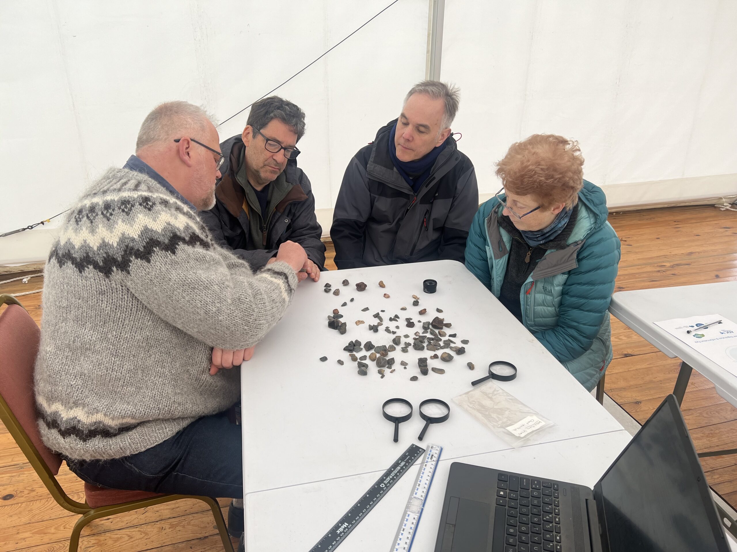
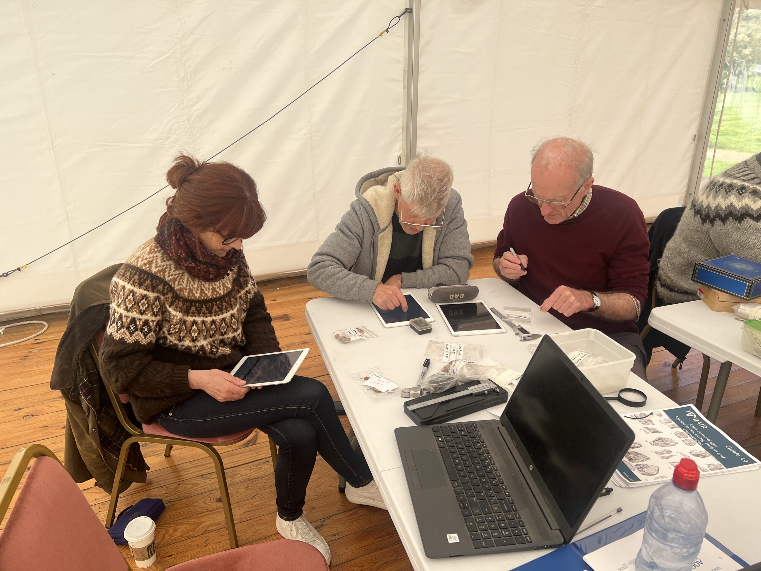
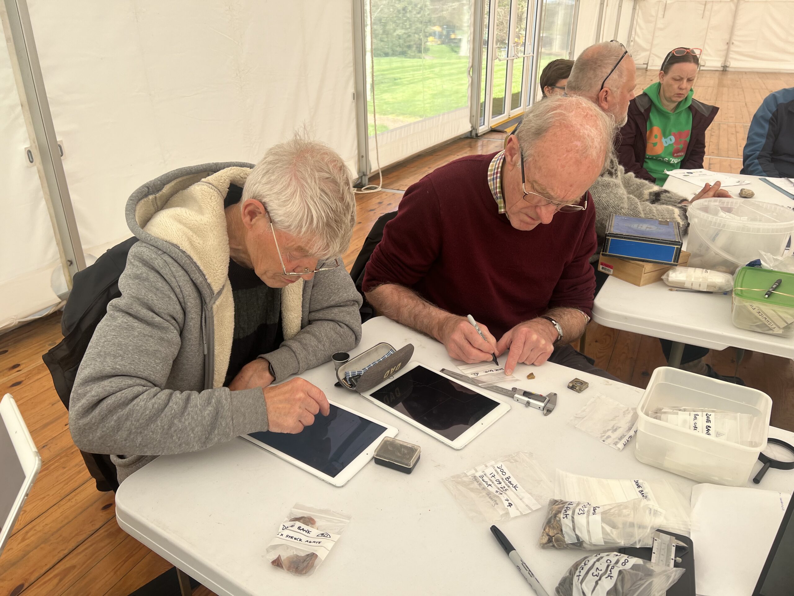
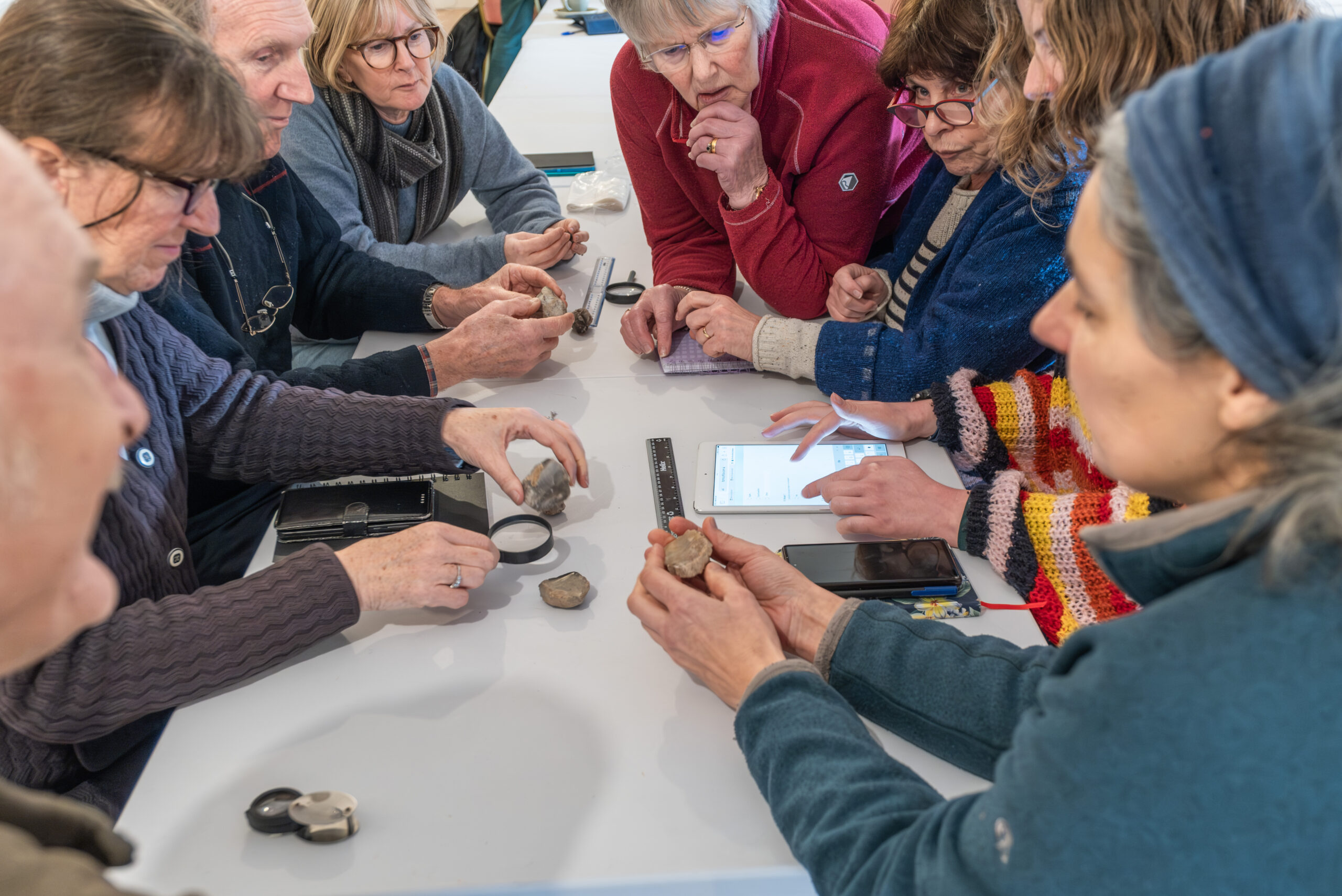
To better understand this assemblage, archaeologists Kristian Pedersen and Torben Bjarke Ballin ran an introductory workshop in January 2025, during which participants could learn more about lithics and basic identification of different tool types. This proved very popular and the team have been working on follow up workshops to catalogue the lithics to better understand the material represented in and around the rivers.
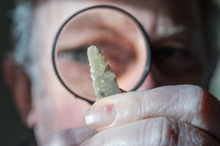
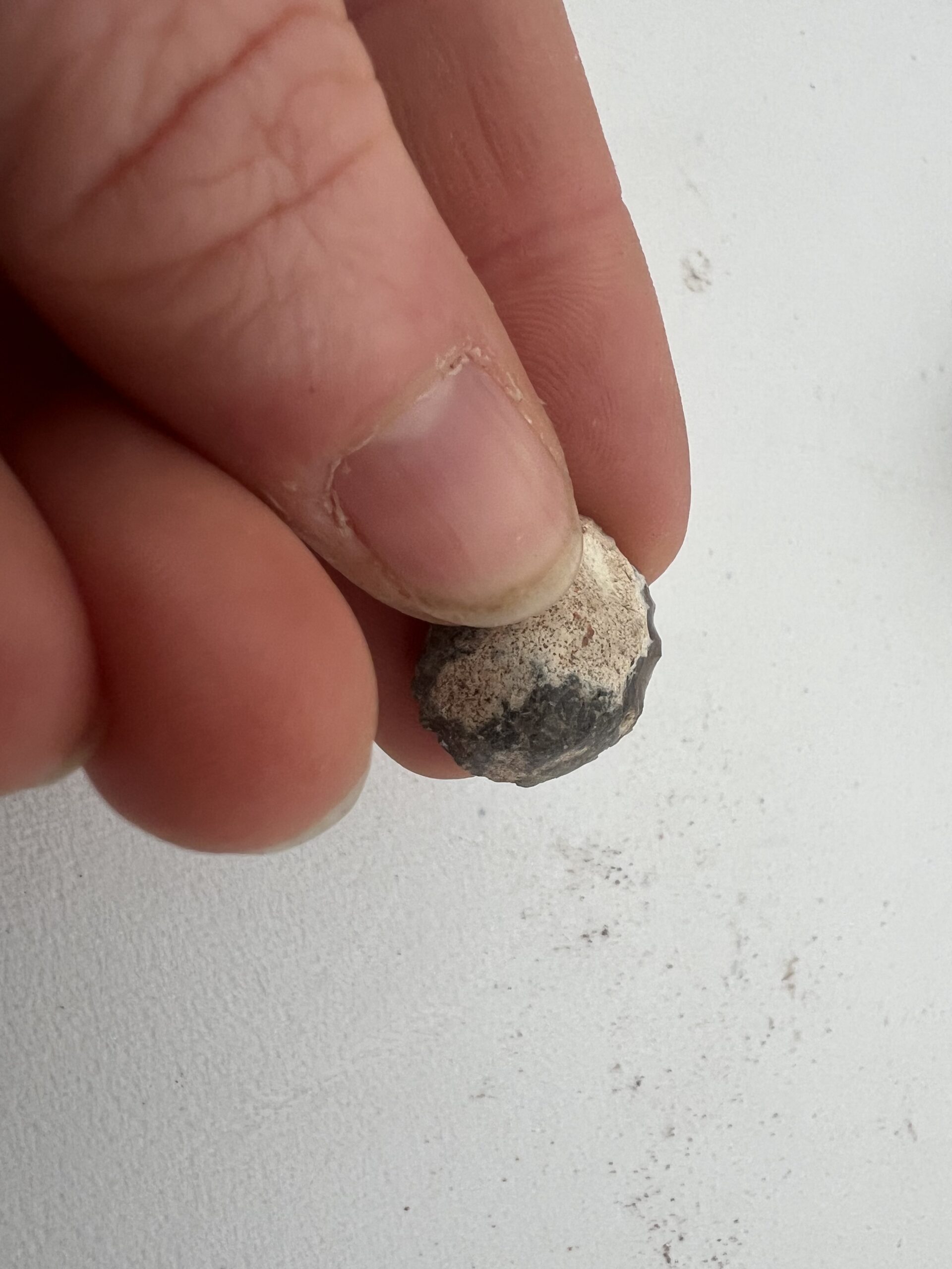
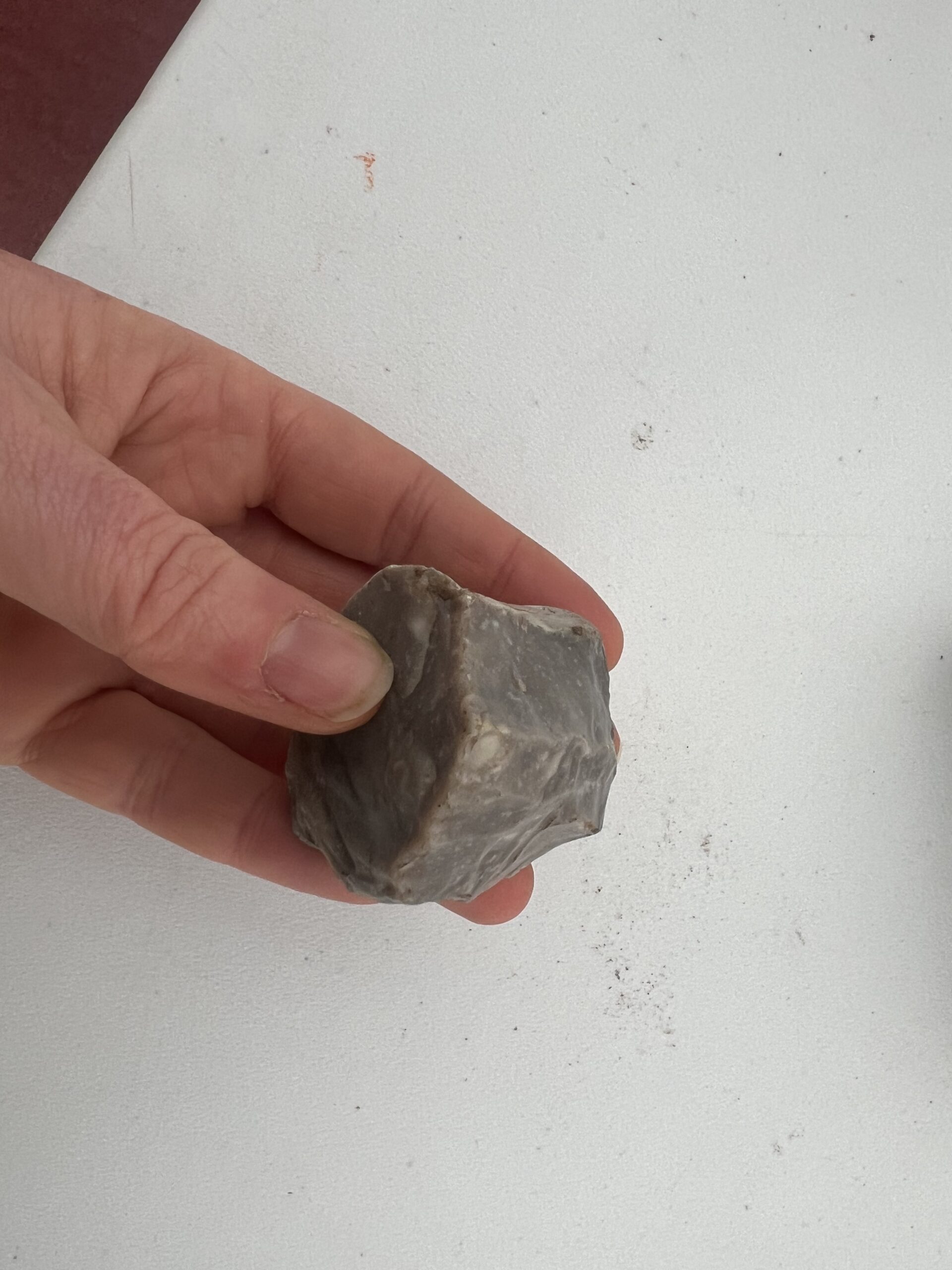
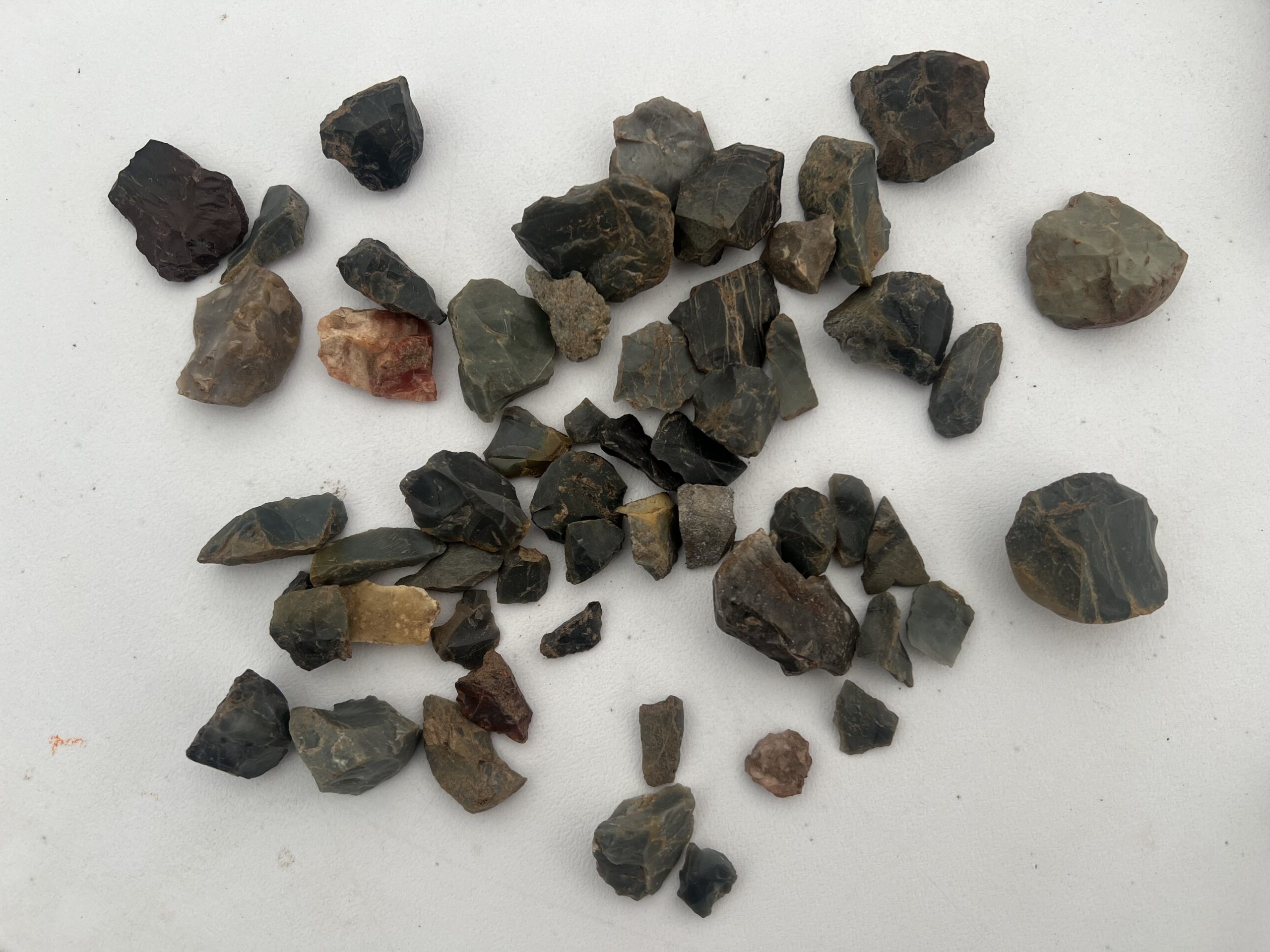
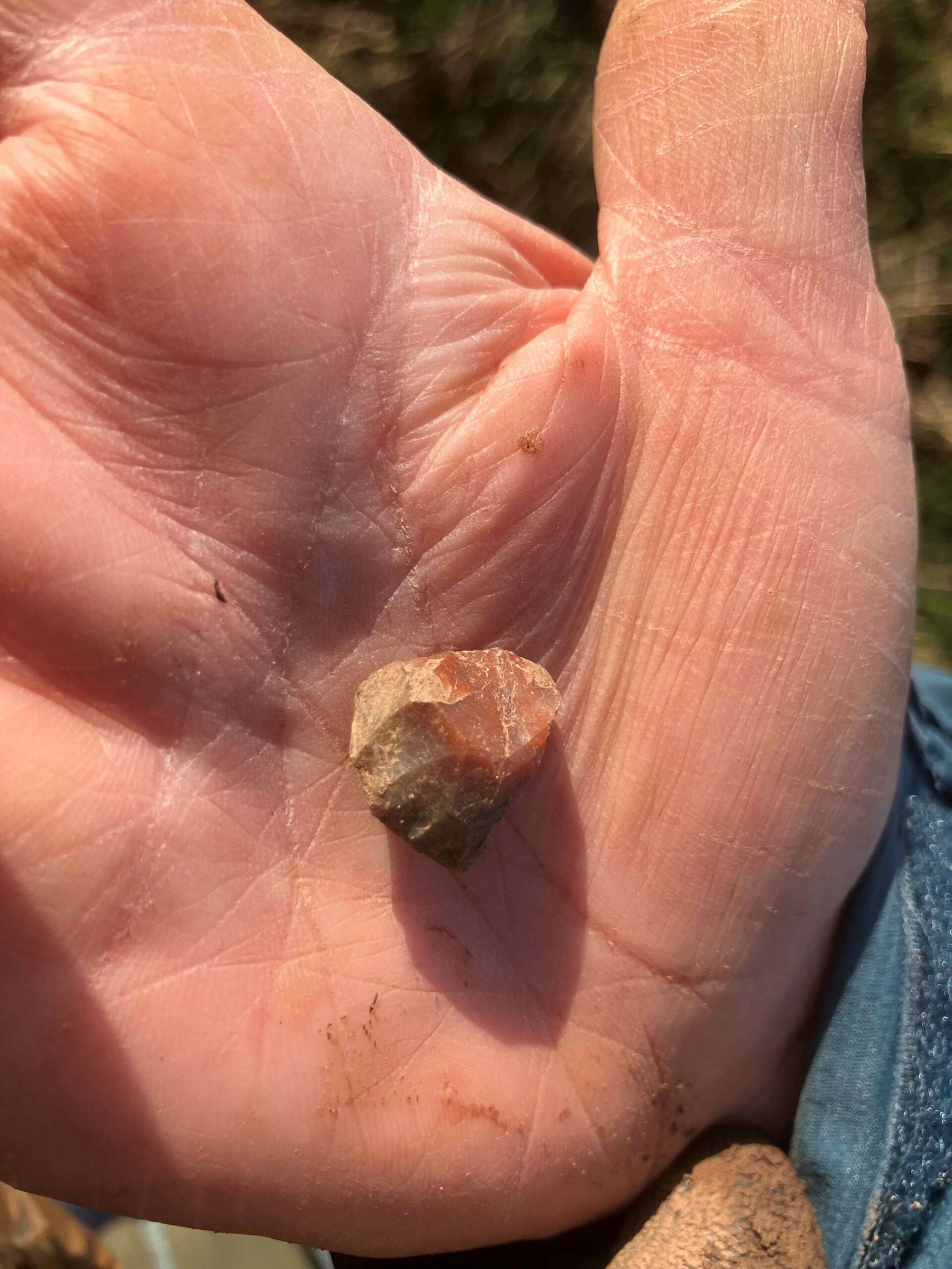
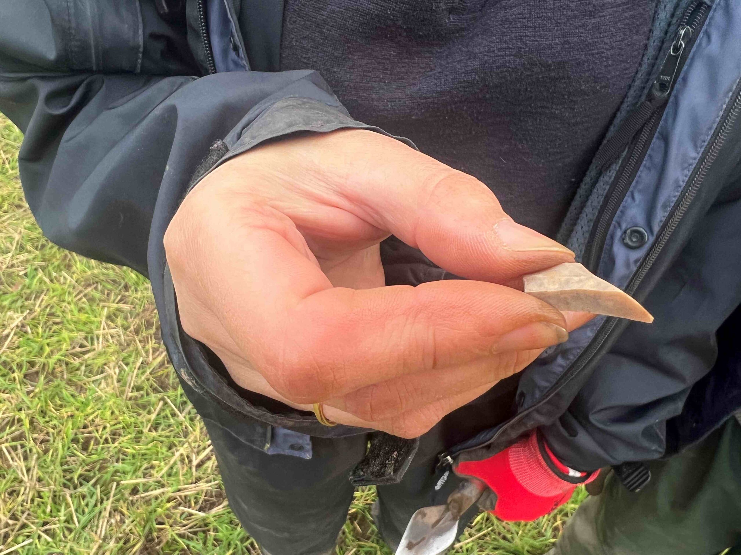
So far, there has been a mixed assemblage with material from the Mesolithic, Neolithic and Bronze Age represented. At the moment the emerging picture is that the Mesolithic material predominates, there are also several nice platform cores, a thumbnail scraper and a fragmented barbed and tanged arrowhead.
Test Pit Excavations
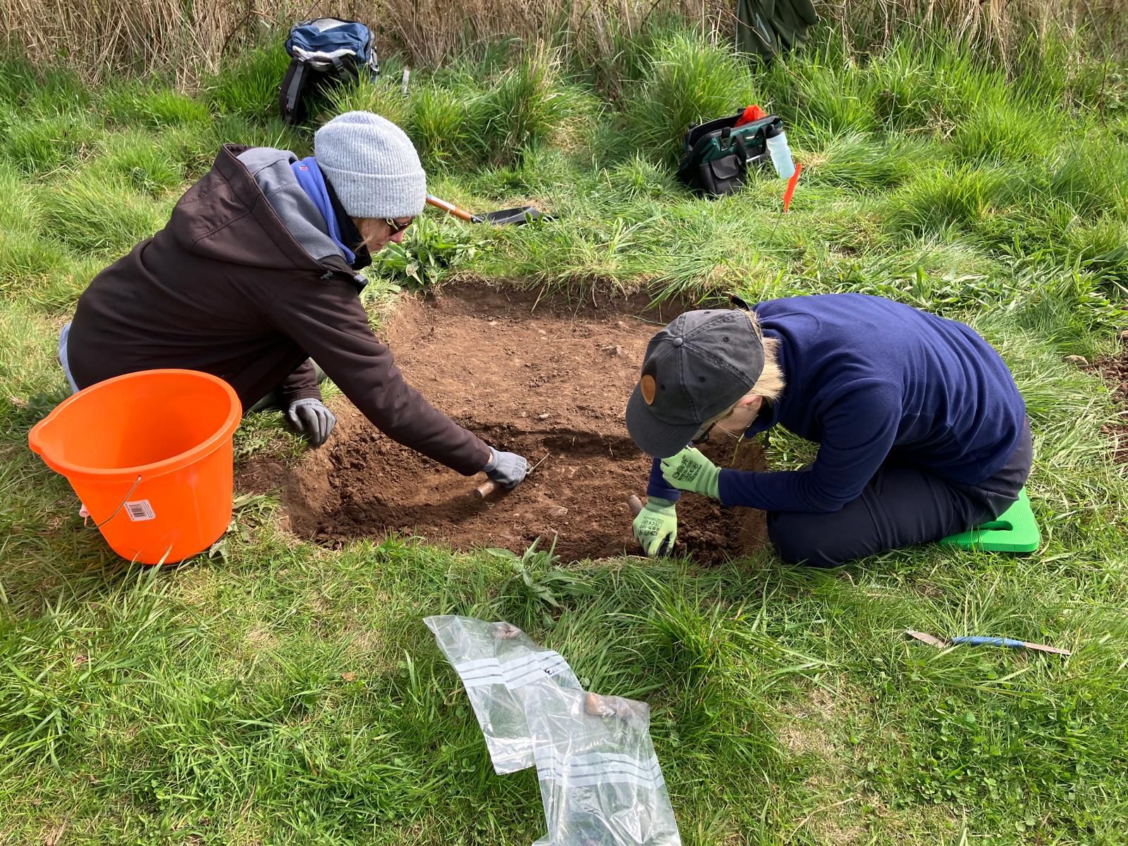
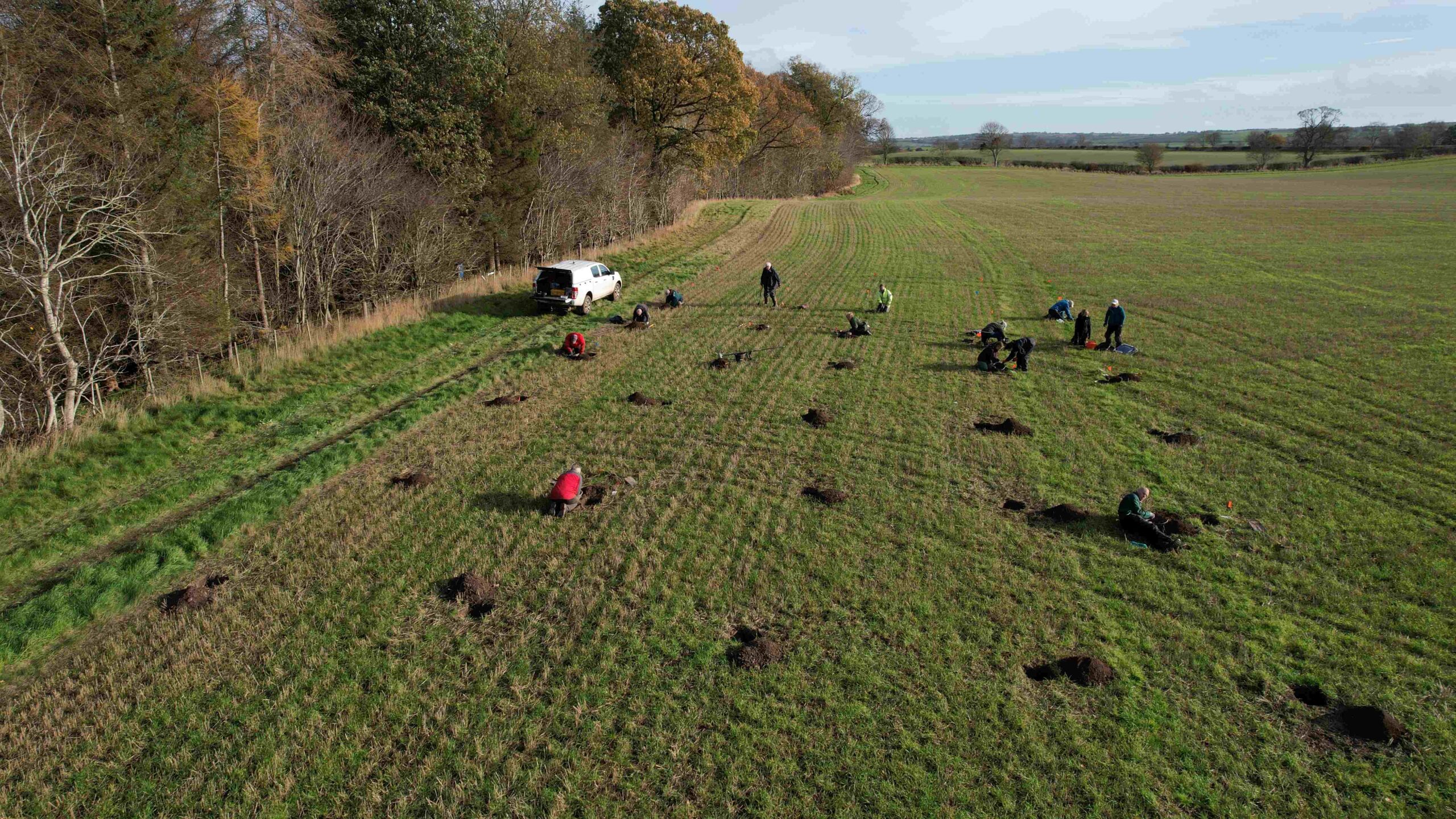
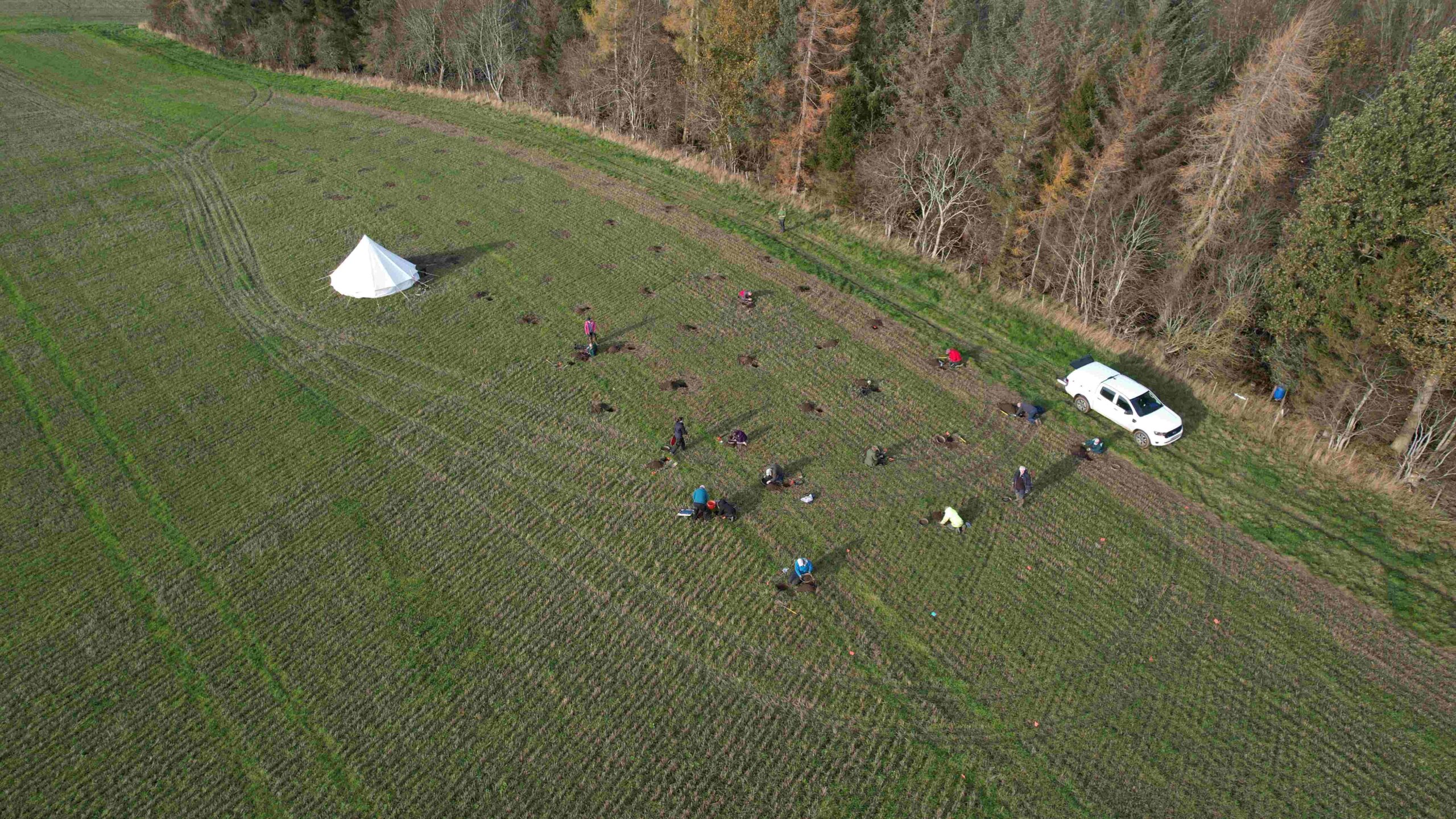
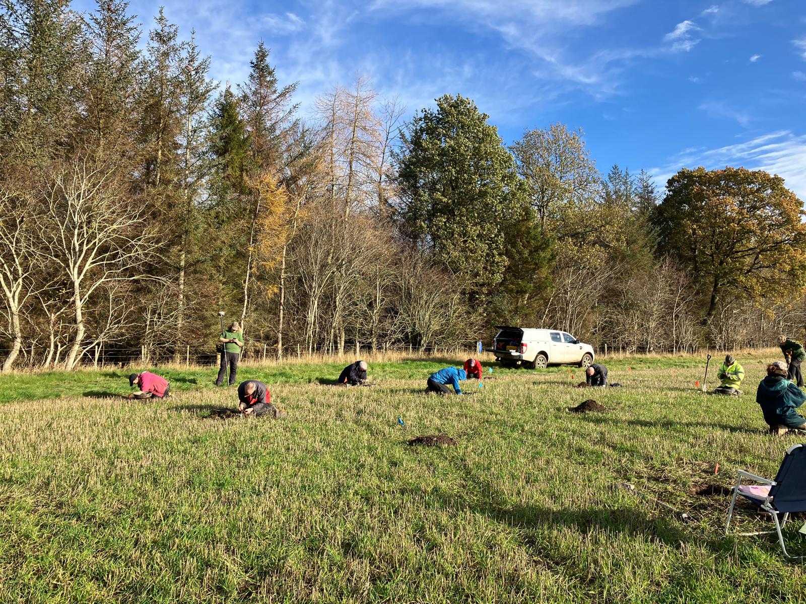
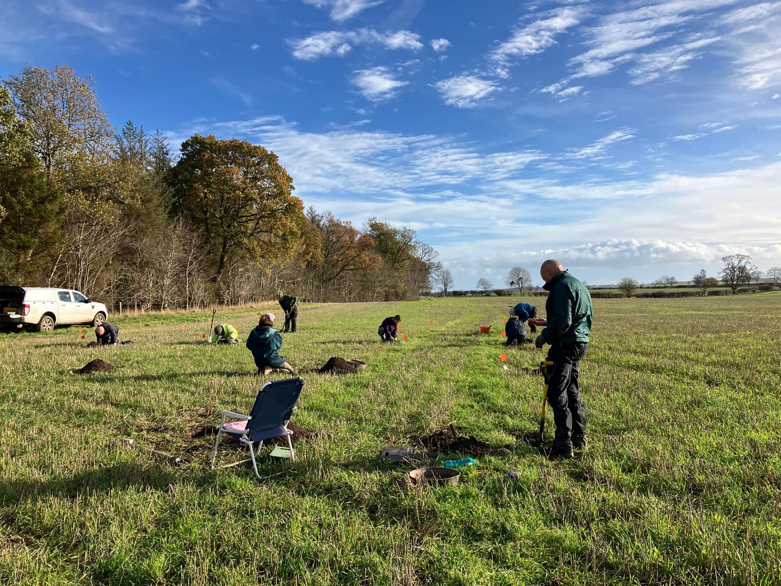
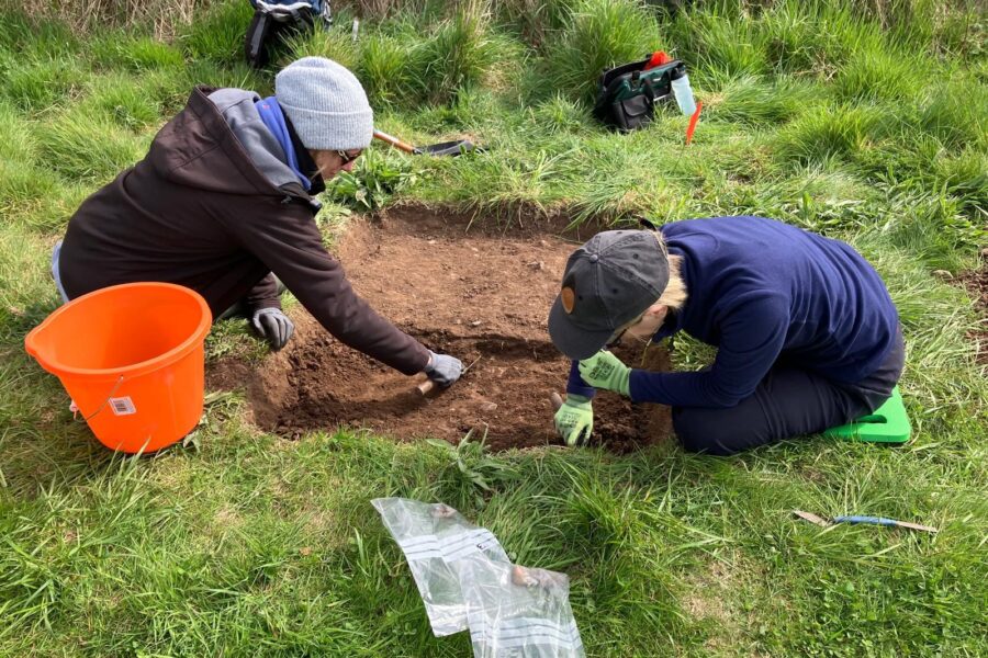
As part of the ongoing investigation of the prehistory of Paxton we are undertaking test pitting along the field margins, focussing on areas where concentrations of lithics have been found during fieldwalking. By mapping distributions and densities of the finds in more detail we aim to locate any concentrations of lithics which could indicate the presence of underlying features or archaeological sites relating to different periods in early prehistory. Through understanding more about the lithic assemblage and linking it to any surviving buried deposits we hope to understand more about how the early communities in this area were moving through, using and settling in the landscape of the Lower Tweed.
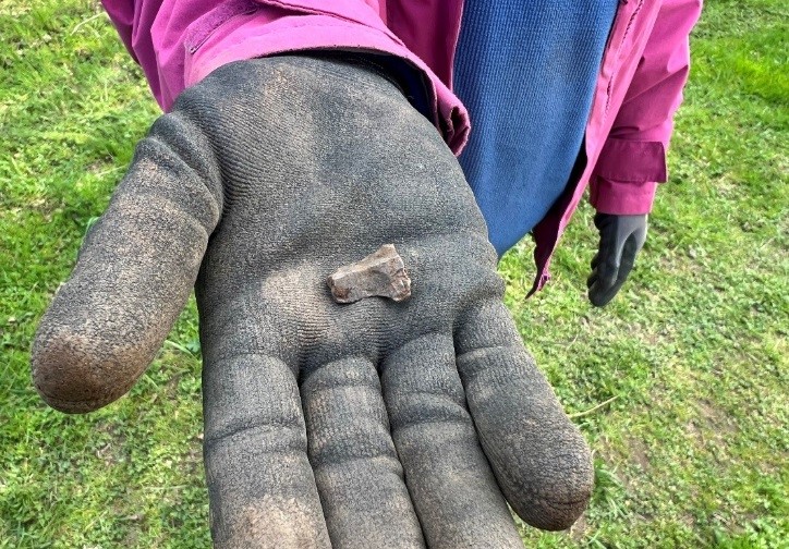
In every test pit, the artefactual assemblage was derived from the upper ploughzone deposit at the field edge. Finds included struck lithics including flint, chert and quartz material. The majority of the assemblage from the test pits represents debitage or waste fragments from lithic working. However, several complete or broken tools were also identified.
The diagnostic material throughout the assemblage points towards a Late Mesolithic signature with smaller quantities of material potentially dating to the Neolithic and several barbed and tanged arrowheads indicating early Bronze Age activity. The Late Mesolithic material is of particular note as there are currently no other known Late Mesolithic sites confidently identified on the lower Tweed.
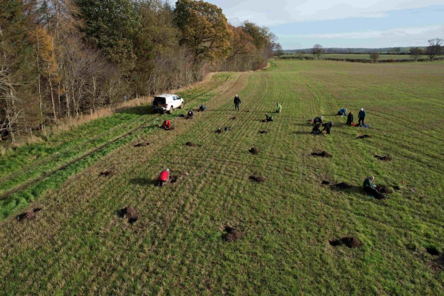
We returned to Paxton in November 2025 to undertake more test pits. We focussed in on another part of the field which contained a long narrow strip of lithic scatter identified during fieldwalking. Here we adjusted our approach to define the lithic scatter and undertook a series of small shovel pits in a gridded arrangement, enabling rapid coverage of a much larger area. The work confirmed that the lithics extend across a low ridge set above the Whiteadder Water, in view of the Tweed. More fragments of blades were identified as well as other lithic debitage. These scatters of material likely indicate an area that has been reused as a camp or settlement at several different point in early prehistory.
Results of Lithics Analysis
Based on the lithics evidence, it seems likely that the narrow stretch of land set between the Whiteadder and the Tweed, not far from their confluence downstream, was an important place for settlement throughout prehistory. It would have formed a well-travelled routeway between the coast and the hinterland, as well as a settlement spot for early hunter-gatherer groups and later prehistoric communities in the Lower Tweed watershed. The majority of the lithic evidence from Paxton dates to the late Mesolithic, around 6000 years ago, but evidence dating to the early and middle Neolithic and the early Bronze Age indicates that the site continued to be a popular choice for millennia.
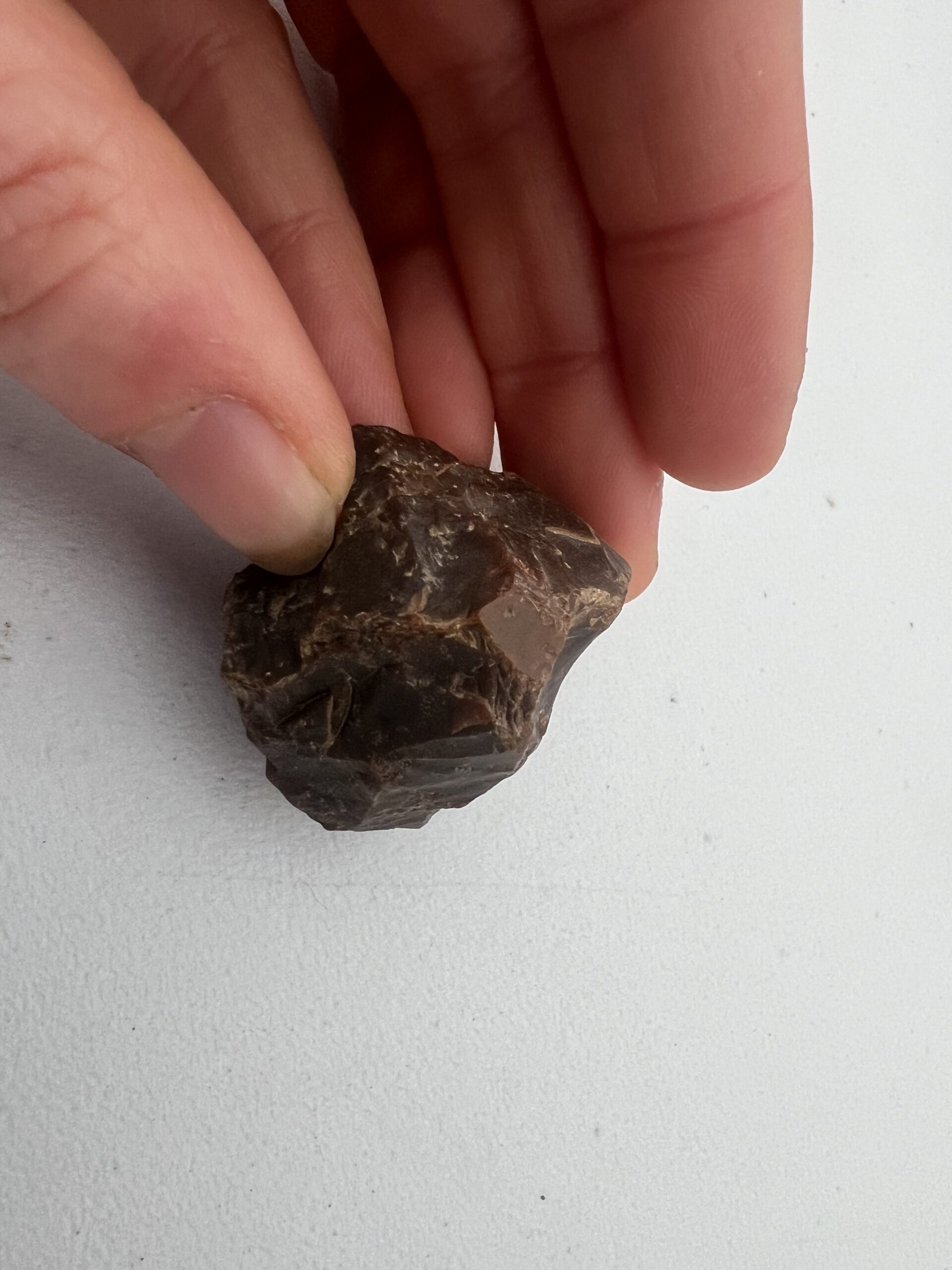
A significant proportion of the material from Paxton was identified as late Mesolithic finds related to the production of blades. A total of 24 flint cores, 48 flint blades, 22 chert cores and 21 chert blades were confirmed within the assemblage, as well as debitage – the waste from making these tools. The majority of the blades were made from flint, which is not available locally and must have been imported from further afield: the inhabitants may have visited the coast to fish and capture seals, and collected flint during those activities, or they may have traded with communities on the coast.
A number of finds were made of chert, which was most likely acquired locally. Chert is found in the steep gorge of the River Whiteadder that forms the eastern boundary of Wellflats, and in large river deposits, and its easy availability may have been one of the attractions of the location to the communities who spent time there.
Some small quantity of pitchstone from Arran are further evidence of trade and exchange networks, and could indicate an Early Neolithic phase of occupation at Paxton.
In addition to the late Mesolithic material, a chisel-shaped projectile characteristic of the Middle Neolithic and a barbed-and-tanged point characteristic of the Early Bronze Age hint at some later activity on the same spot.
The full report by Kristian Pedersen is available for download below.
Read the full report on the lithics from Paxton
Further Reading
Bjarke Ballin, T. 2017. Lithic Assemblages A guide to processing, analysis and interpretation. BAJR Practical Guide Series 49. 49_Lithics_guide
Bjarke Ballin, T. 2021. Classification of Lithic Artefacts from the British Late Glacial and Holocene Periods – Archaeopress. archaeopress.com/Archaeopress/Contributor/Torben-Bjarke-Ballin