Designed Landscapes – Makerstoun Estate

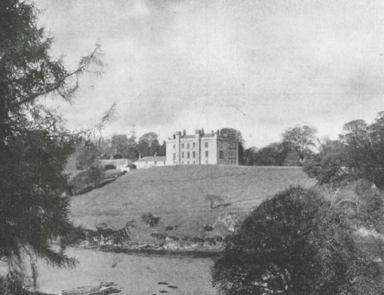
Makerstoun Estate near Kelso, is a historically significant estate, shaped by centuries of conflict, rebuilding and adaptation, on the banks of the River Tweed.
Background
Recorded as Machanstoun by Blaeu in the mid‑17th century, the estate occupies a strategically important riverside position in a region frequently affected by Anglo‑Scottish warfare. Like many properties, Makerstoun suffered repeated destruction during military incursions, contributing to a complex pattern of rebuilding that continued into the modern period.
Early enclosure and woodland belts shown on Roy’s mid‑18th‑century map suggest a move towards improved agricultural management and estate control following the Union of the Crowns. By the 19th century, Makerstoun had developed into a refined country estate, with well‑wooded parkland, riverside policies and named plantations that demonstrate the Victorian emphasis on picturesque scenery and managed nature.
Architecturally, the house itself embodies this layered history, with successive phases of rebuilding and alteration rather than a single unified design. This incremental development gives Makerstoun particular heritage value, illustrating how Border estates evolved in response to political instability, economic change and shifting social aspirations.
Today, Makerstoun Estate retains much of its 19th‑century character, while reflecting the deeper historical forces that shaped the Scottish Borders landscape.
Tree Planting Activity
Makerstoun is modest in scale and positioned close to the river, within a parkland setting. The park contains a strong framework of mature trees, including mixed broadleaves and Scots pine, with additional areas of restocking and smaller woodland belts extending to the west and north. An old wooded graveyard lies to the west of the house, and remnants of an planetary old observatory is located to the east.
The wider landscape is relatively understated, with some alteration through the introduction of a new tree belt in the 1990’s. Estate cottages, the home farm and associated buildings are grouped together and constructed in red sandstone.
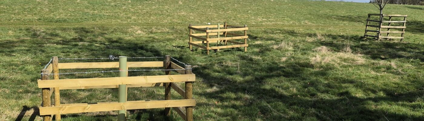
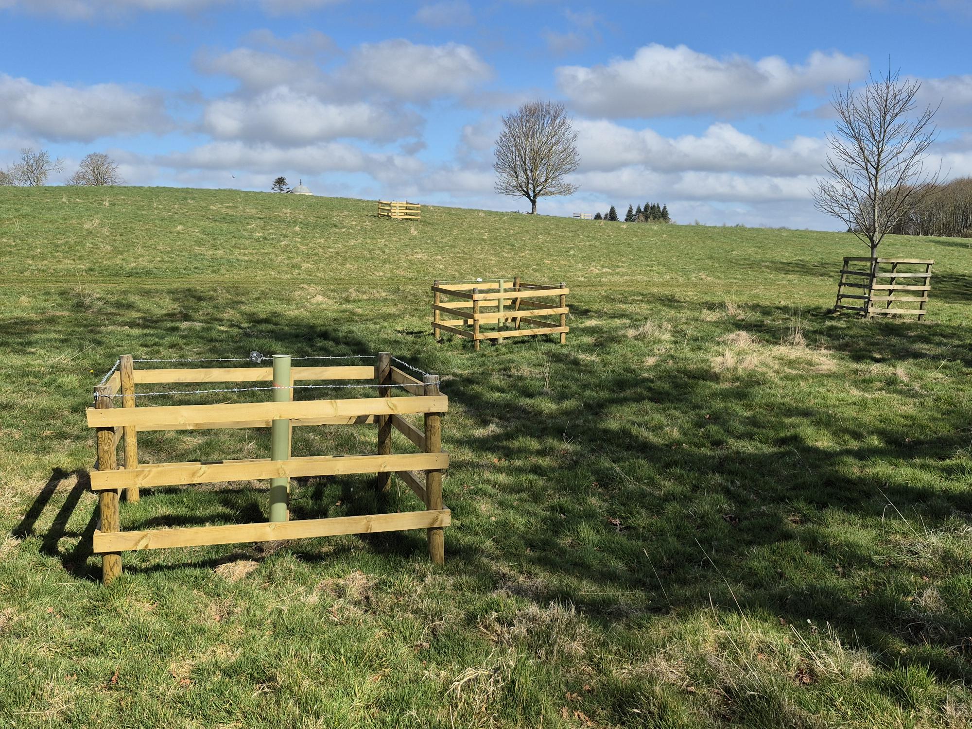
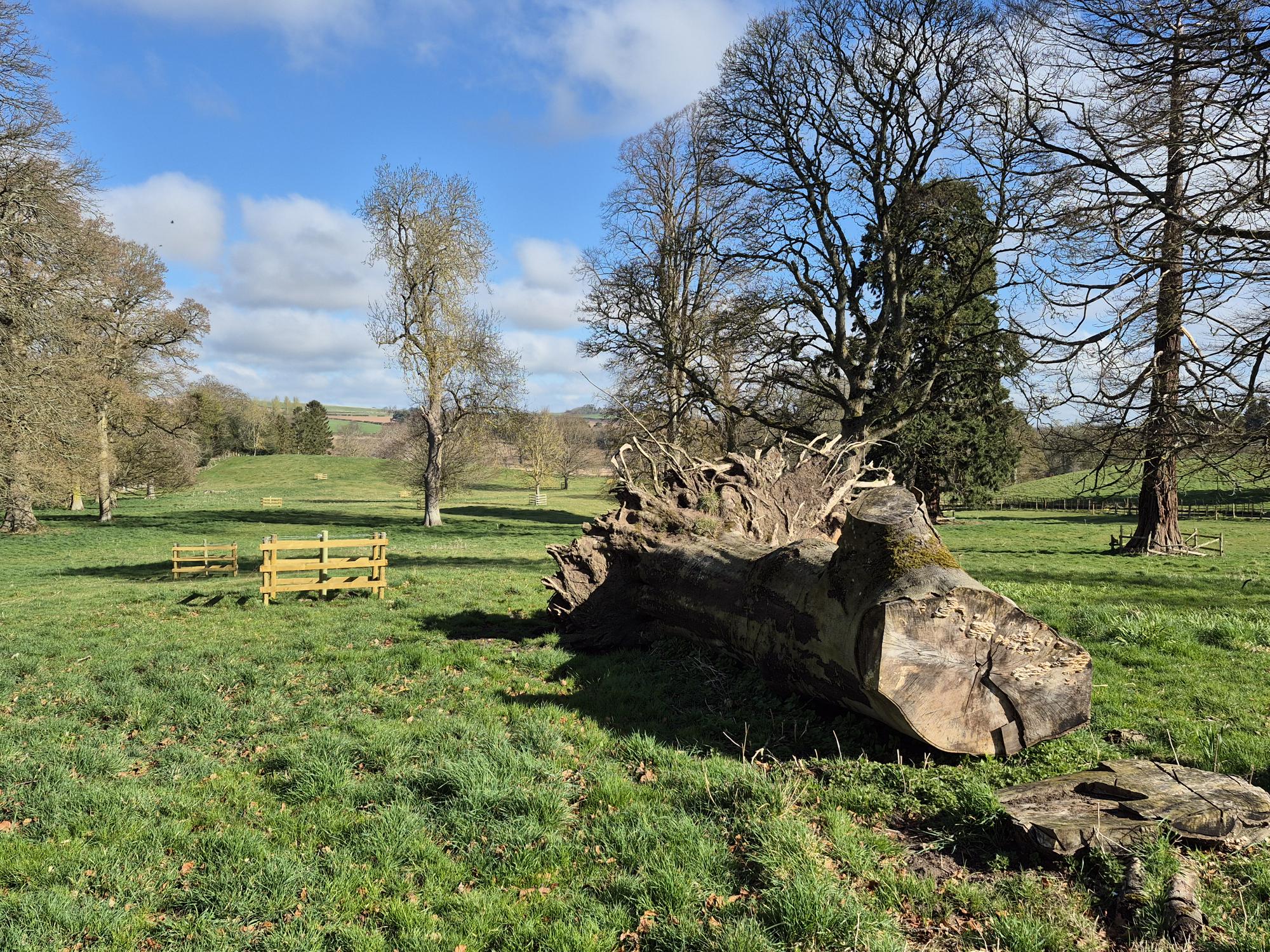
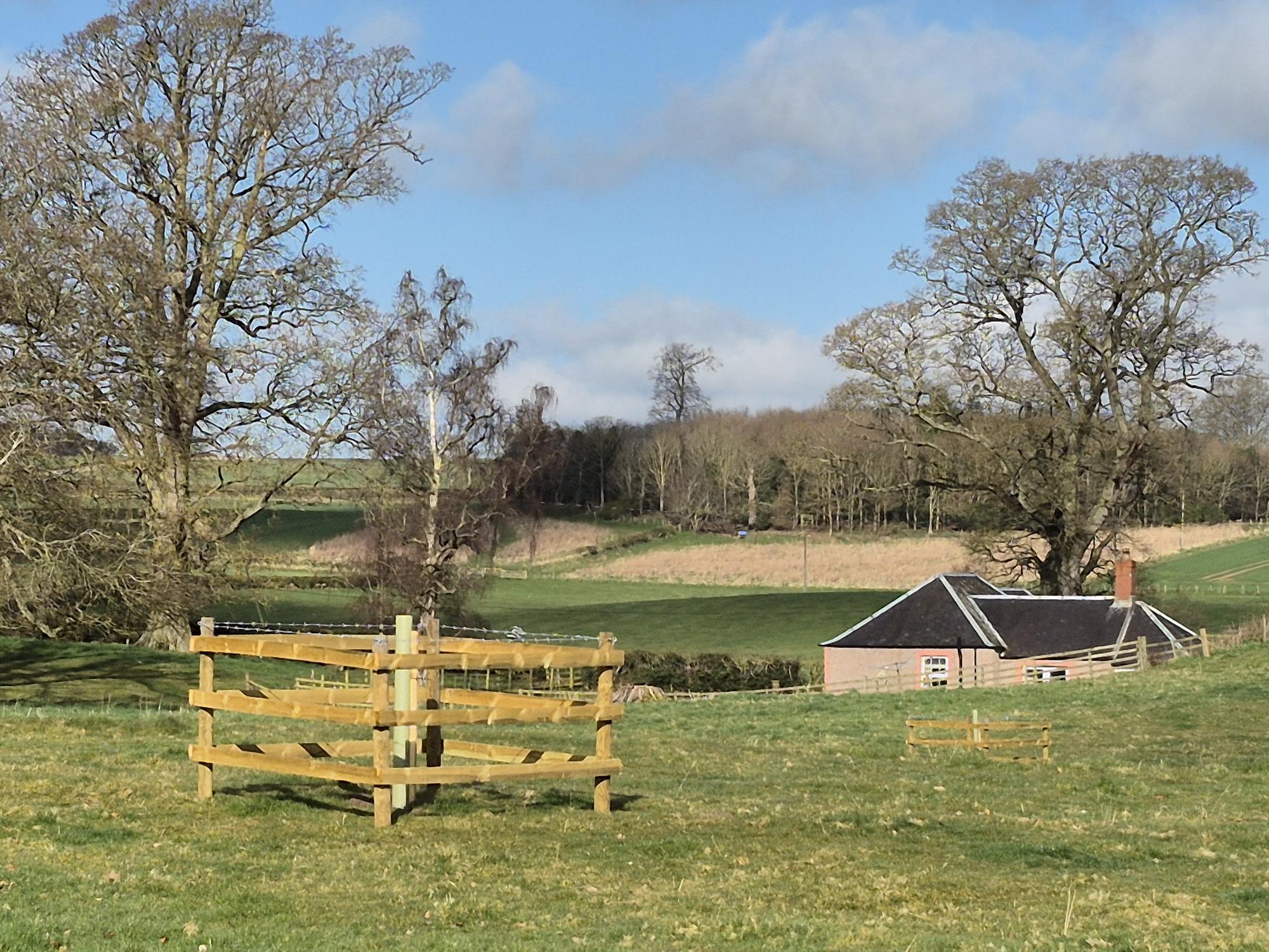
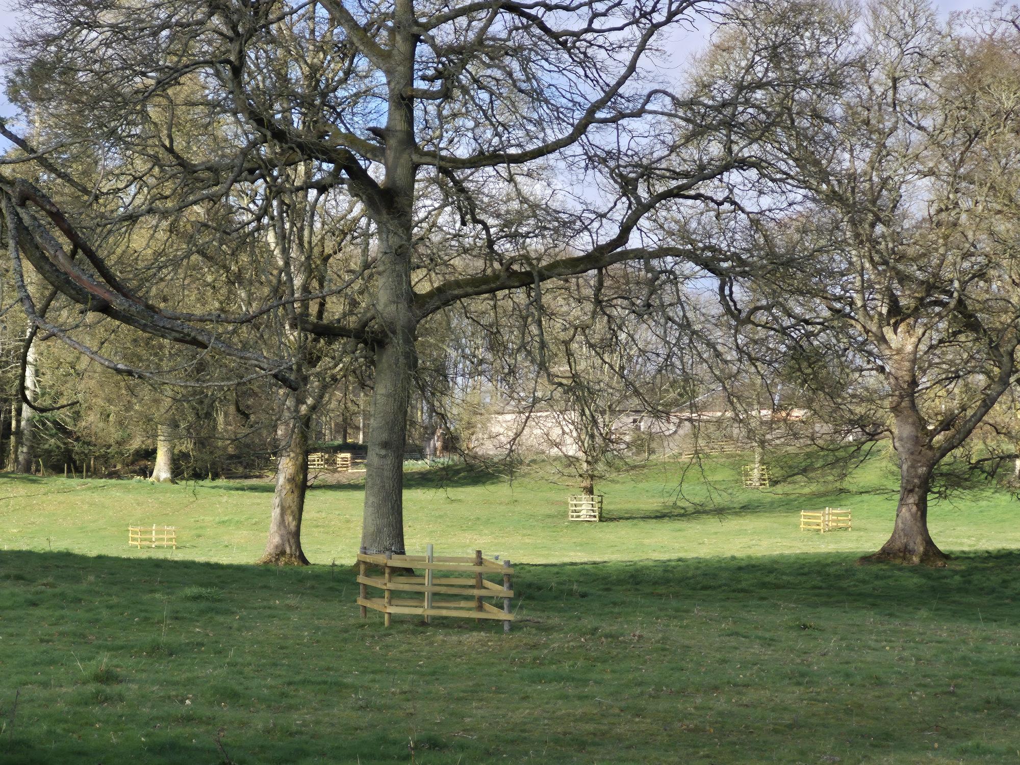
As part of the Designed Landscapes project, Derek Robeson, working with Makerstoun Estate, assessed historic planting on the site and developed a plan to enhance the parkland. Tree planting included 47 parkland trees in wooden post and rail tree boxes to protect newly planted trees. Species such as Scots Pine, Oak, Lime, Chestnut and Beech were planted on 5 discrete sites around the estate, including to the North and West of the house, and along old medieval roadway and existing farm track.
Tree Planting Summary
47 parkland trees
Long Term Impact & Benefits
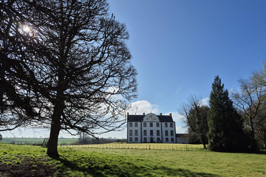
Originally designed by William Adam, Makerstoun House is a hugely interesting site historically. Thomas Makdougall Brisbane (Governor General New South Wales- 1821) lived here from the early-mid 1800’s. Brisbane City and River are named after him. In 1833 Thomas Brisbane followed Sir Waler Scott, becoming President of the Royal Society of Edinburgh. (It is quite likely that Sir Walter Scott had a hand in laying out the parkland 200 years ago). Brisbane built an astronomical observatory in the grounds. Elements of which can still be seen today.
Another fascinating feature is the remains and layout of the medieval ‘Makerstoun’ village in the parkland to the west of the house. There is also a long driveway lined with impressive Victorian and Edwardian iron railings and gates.
The new parkland trees have been planted sympathetically to complement the living history of the site. The new trees are dominated by Oak plantings…but a longer tree list also includes tree species which will hopefully withstand and adapt to a rapidly changing climate.
The Designed Landscapes project is funded by National Lottery Heritage Fund Scotland, Fallago Environment Fund and private contributions.
Back to Designed Landscapes project page