Advanced LiDAR Workshop, Online

Advanced LiDAR Workshop: Processing Archaeological Data with QGIS
Join the AOC Archaeology Group for an in-depth, hands-on workshop designed to enhance your skills in processing and analyzing LiDAR data for archaeological research. Building on the foundational knowledge of LiDAR, this advanced session’focuses on utilizing QGIS, a powerful open-source geographic information system, to manage and interpret LiDAR data, as well as other free and open source software packages.
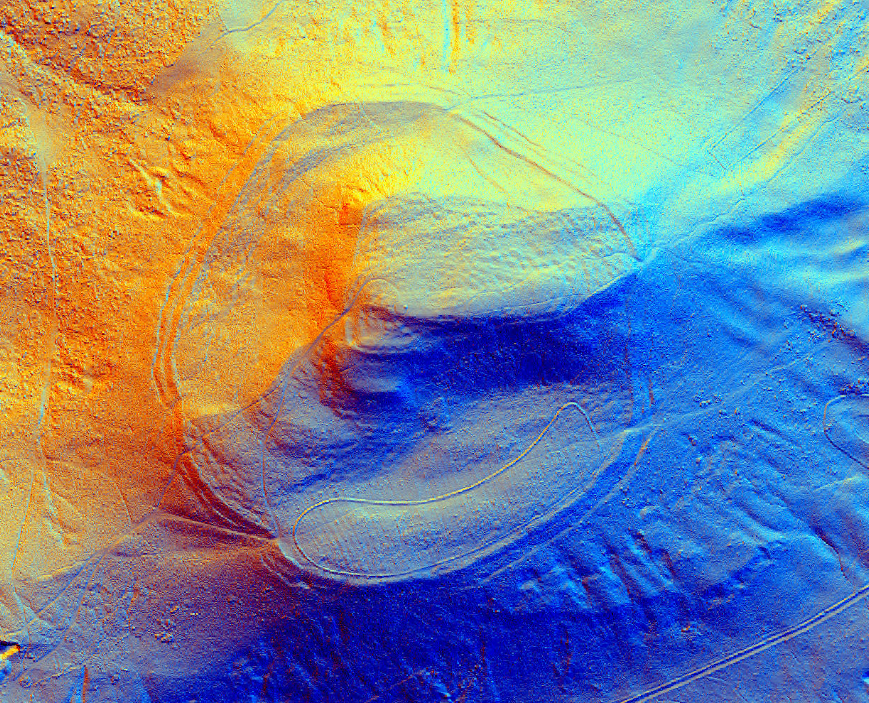
LiDAR (Light Detection and Ranging) has transformed archaeological surveying by enabling the identification of subtle landscape features and hidden archaeological sites. In this workshop, you will learn how to take raw LiDAR data and process it yourself to create detailed topographic models and analyze features of interest within archaeological landscapes. With a focus on practical skills, you’ll explore how to manipulate and visualize LiDAR data in QGIS, opening up new possibilities for archaeological discovery.
Using LiDAR data from south-east Scotland and north Northumberland, you’ll have the opportunity to work with high-resolution datasets that are publicly available. By the end of the workshop, you will have the confidence to process LiDAR independently and apply these techniques to your own research or projects.
Key topics include:
- A brief review of LiDAR technology and its archaeological applications
- Downloading and working with LiDAR datasets
- Advanced processing techniques in QGIS, including Digital Elevation Models (DEMs) and hillshade analysis
- Identifying and mapping archaeological features
- Integrating historic maps and environment records with LiDAR data
- Best practices for documenting and recording findings
This workshop is ideal for those with a basic understanding of LiDAR and archaeology who want to take the next step in mastering data processing.
Participation is free, but space is limited—please reserve your spot in advance!
Events
-
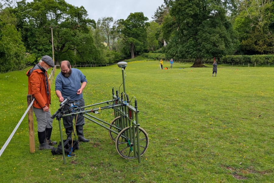
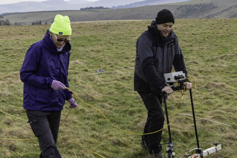
FULLY BOOKED Join the Uncovering the Tweed geophysical survey team for an introduction to resistivity survey at the recently identified Fairnilee ...
-
FULLY BOOKED Join the Uncovering the Tweed team for an introduction to geophysical survey at Drumelzier Haugh. The session will ...
-
FULLY BOOKED As part of the programme of events for the Uncovering the Tweed project, AOC Archaeology Group will be ...


