Crossing the Tweed
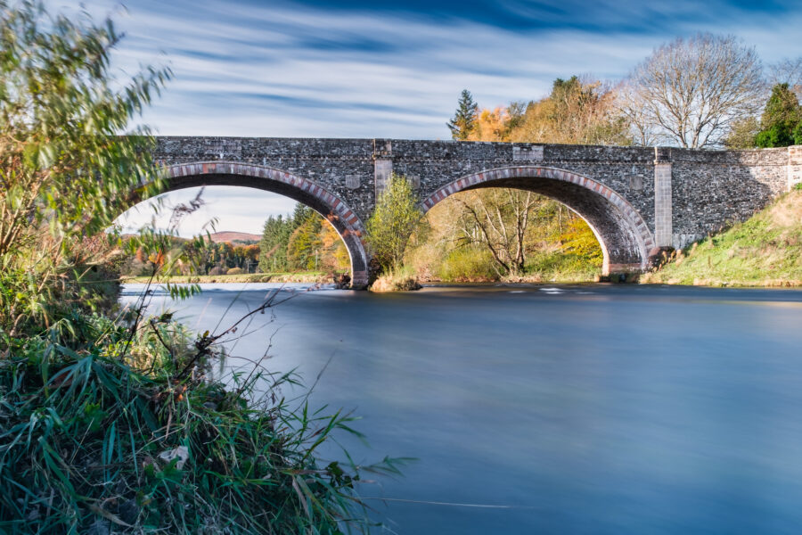
This sub-theme of Mapping the Tweed seeks to explore and record crossing places of the Tweed river and associated tributaries. Crossing points offer the opportunity to map communication routes through the landscape, and the ways these have changed through time in response to political, economic and environmental changes.
Several of these may be extant bridges with older antecedents while other crossings may be traced through physical remains along the river, through historic mapping, or through LiDAR. Workshops will be carried out to introduce participants to a range of research techniques for identifying crossing points such as bridges or fords. Field visits will be carried out to investigate and survey possible crossing areas. These points will be related to known or newly identified sites in the study area such as Roman roads, medieval settlements or droveways.
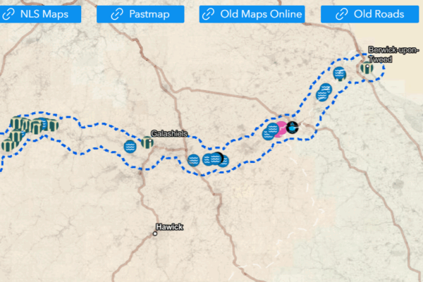
We’ve run a number of events as part of Crossing the Tweed, both online and in-person, and now have a team of volunteers working away on identifying and mapping potential lost river crossings.
You can get involved by contributing directly to the webmap by flagging new sites via the webmap (link and instructions below), or by getting in touch with Geoff Parkhouse, who is leading research on this theme for AOC.
Adding a new site:
The map has direct links to the NLS mapping, other historic mapping and Pastmap to make researching as easy as possible. Add a new site, click the relevant location on the map and add in any relevant information you have about that crossing point. We are looking for any new information on places the Tweed crossings would have occurred whether current bridges, old bridges, fords or ferries!
Adding information about an existing site:
If someone has already made a new site on the webmap for your site of interest and you want to add new data then you can also send your information via email to Geoff using a Word doc form (link to form below, and you can contact Geoff via the link further down the page) to be collated. You can also use this form to pass on information about any new sites if you don’t want to add directly to the webmap.
If you are adding to an existing site, wherever possible please use the existing site ID number (if one exists) or the site name and location so its straightforward to organise the data into the map.
Forms and research can be emailed to Geoff Parkhouse at AOC via this link.
All information welcome and happy researching!