Towers of the Tweed
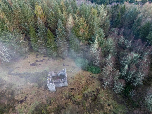
This sub-project investigates tower house sites along the River Tweed. Tower houses are an emblematic site type for the region defined as a fortified multi-floored dwelling constructed between 14th-17th centuries.
These usually comprise several floors and often include a vaulted basement. In the context of the turbulent and contested history of the Scottish Borders and Northumberland, tower houses played a key defensive role with thick stone walls, narrow winds and often a surrounding barmkin (defensive courtyard). Tower houses were likely not just defensive but had a significant role in social display of status and power. The conservation and restoration of tower houses has been a contentious issue with debates over historical accuracy versus modern requirements for safety and accessibility. Throughout the Tweed corridor, several tower houses survive in various states from suspected sites to low ruins, and from consolidated remains to repurposed structures.
Peel Towers
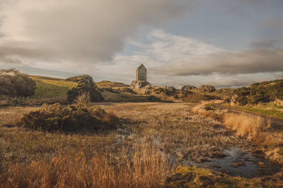
During the 12th – 16th centuries, the Borders region suffered from raids and attacks by both English and Scots. Hence there was a long tradition of building defensive structures known as ‘peel towers’ or ‘bastle’ towers. These towers were buildings of refuge in times of raids and also acted as beacons along the valley to alert of an oncoming attack. The word ‘peel’ or ‘pele’ stems from the word for a timber palisade, a purely defensive structure relating to the castles of the Norman period and it has never been clear from contemporary references to peel towers whether they were anything more than a place of refuge. However, some have argued that a peel tower was a defensive house which was permanently lived in. Other scholars have come to the conclusion that, although the tower would have been reasonably habitable with a large fireplace in the main hall, the family, or at least their armed retainers, would have largely lived outside the tower in huts, resorting to the tower in times of refuge. Whatever the exact living arrangements may have been, Cardrona certainly fits into the definition of this type of tower house, few examples of which survive that have not been later converted into larger fortified houses in more peaceful times from the 17th century onwards.
These tower houses were steeped in a long tradition stretching back to the 12th century of tall, almost monolithic structures in stone rubble, rectangular, three‐four storeys in height with a vaulted basement and turnpike stair. Recent studies have identified that there were at least 80 of these towers in the Borders region, 5 of which remain intact with 20 more now in a ruinous condition.
Chambers identified the close relationship between the adjacent towers in the region: ‘…On the line of the Tweed with its lateral valleys, the towers are placed at intervals of a mile or two miles, from the lower to the higher parts of the county…Thence the communication through Peeblesshire was kept up, generally zig‐zagging across the river, to Scrogbank, Caberstone, Bold, Plora, Purvis Hill, Pirn, Traquair, Grierston, Ormiston, Cardrona, Nether Horsburgh, Peebles, and Neidpath.’ (Chambers 1864, 70).
The Statistical Account for the parish in 1795 goes further, saying that these towers formed ‘…a continued chain…so situated on both sides of the Tweed, as by the lights placed in them, intimation might be given from one to another of the approach of any foe…’ (Walker 1794, 378). This was referred to as a ‘beacon stance’ and located in an open turret of the tower.
Whether the landowners built peel towers because they were community‐minded is debated by some, Dunbar (1966, 44) suggesting that ‘…each was erected where it might serve the individual interests of the owner…’ rather than serve an interconnecting system of communication.
Project Aims
With more than 40 tower houses along the Tweed corridor, this strand of our project aimed to shine a light on a sample of these, exploring the architectural development of different features and the narratives of different tower houses as they were built, occupied, abandoned/altered. Some sites were visited for training purposes while others were surveyed in more detail. Explore the content below to find out more about our work at each of these iconic sites.
-
Cardrona Tower
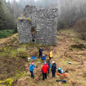
Read about our survey carried out in January 2026
-
Wallace's Tower
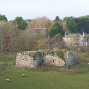
Read about our survey of this tower on the banks of the Teviot
Torwoodlee Tower
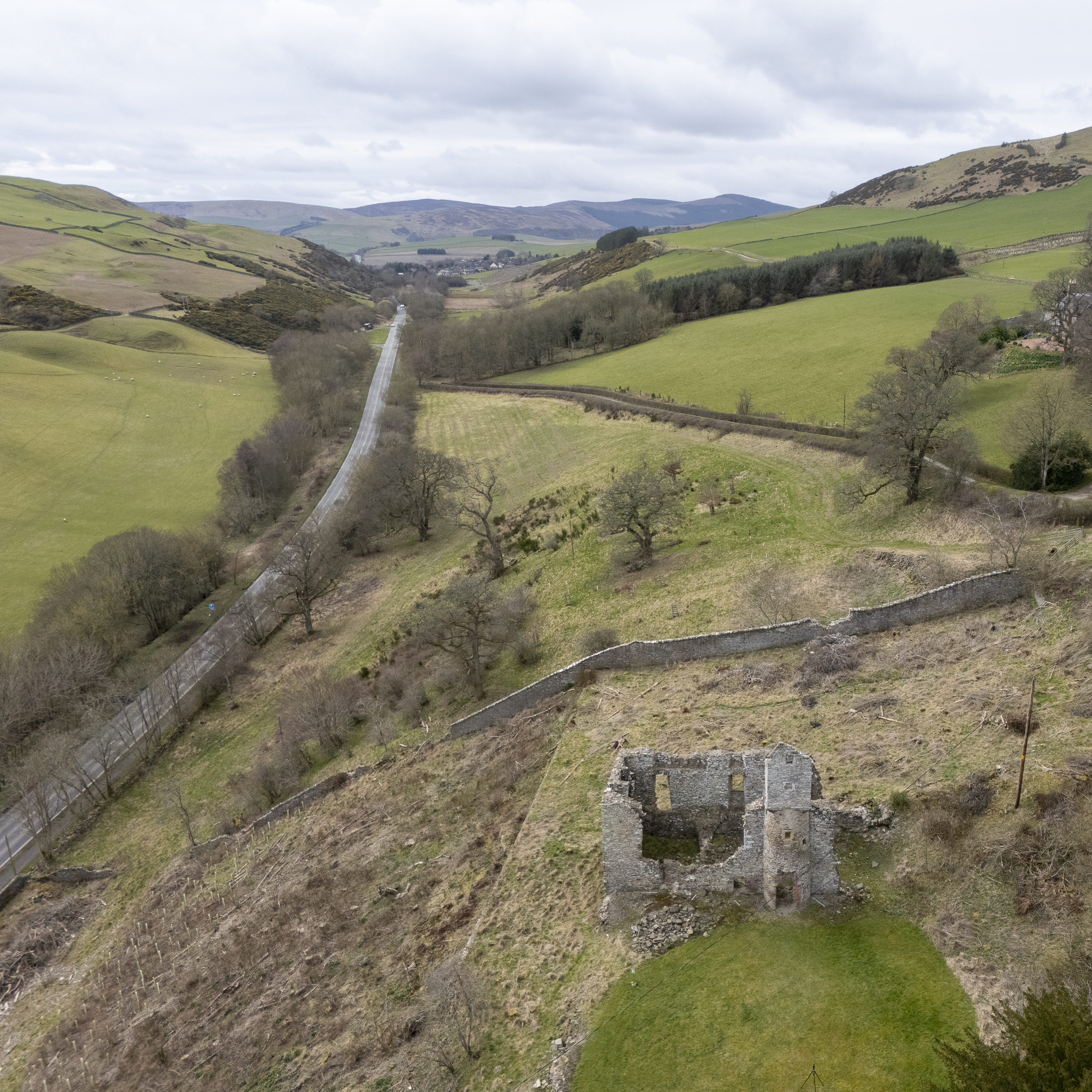
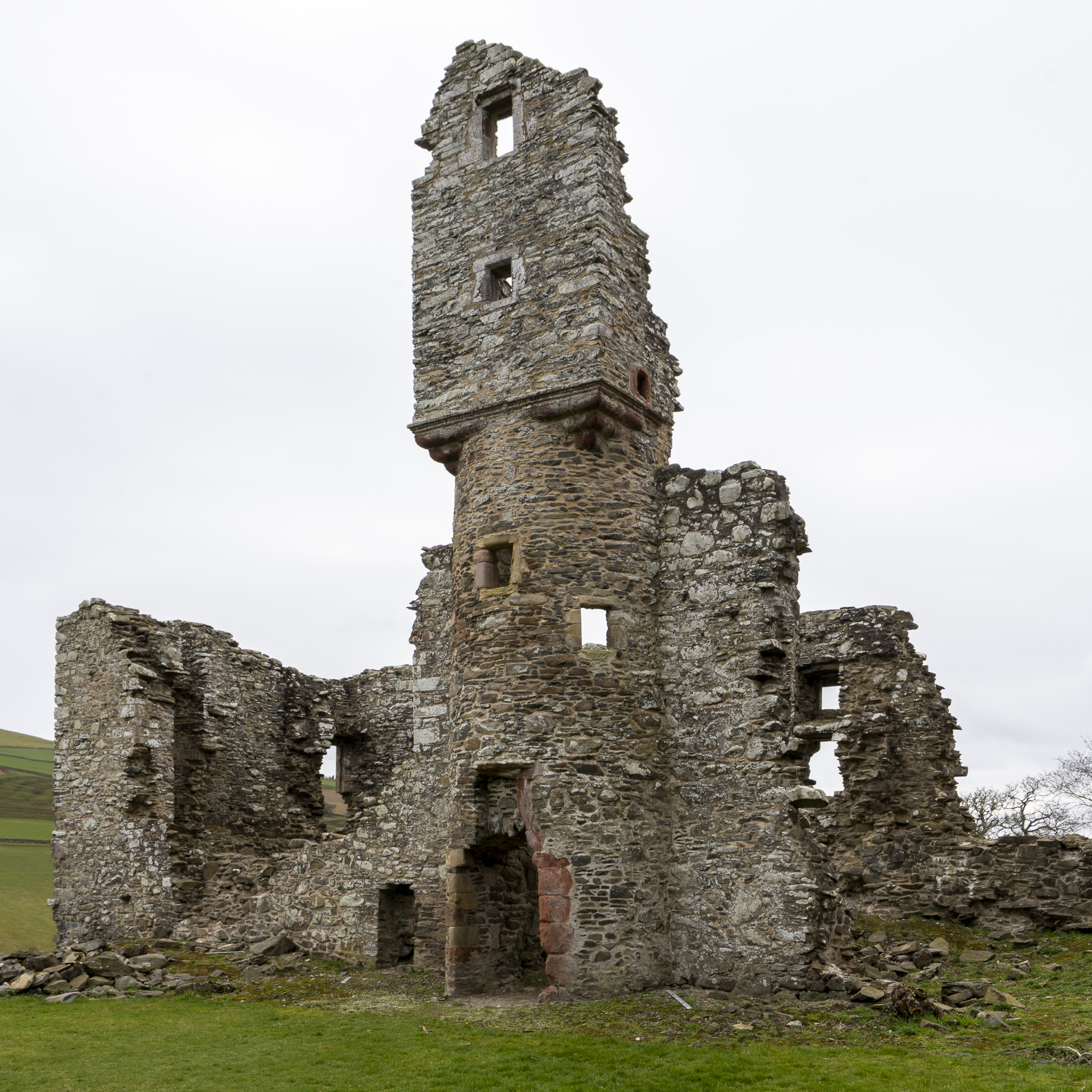
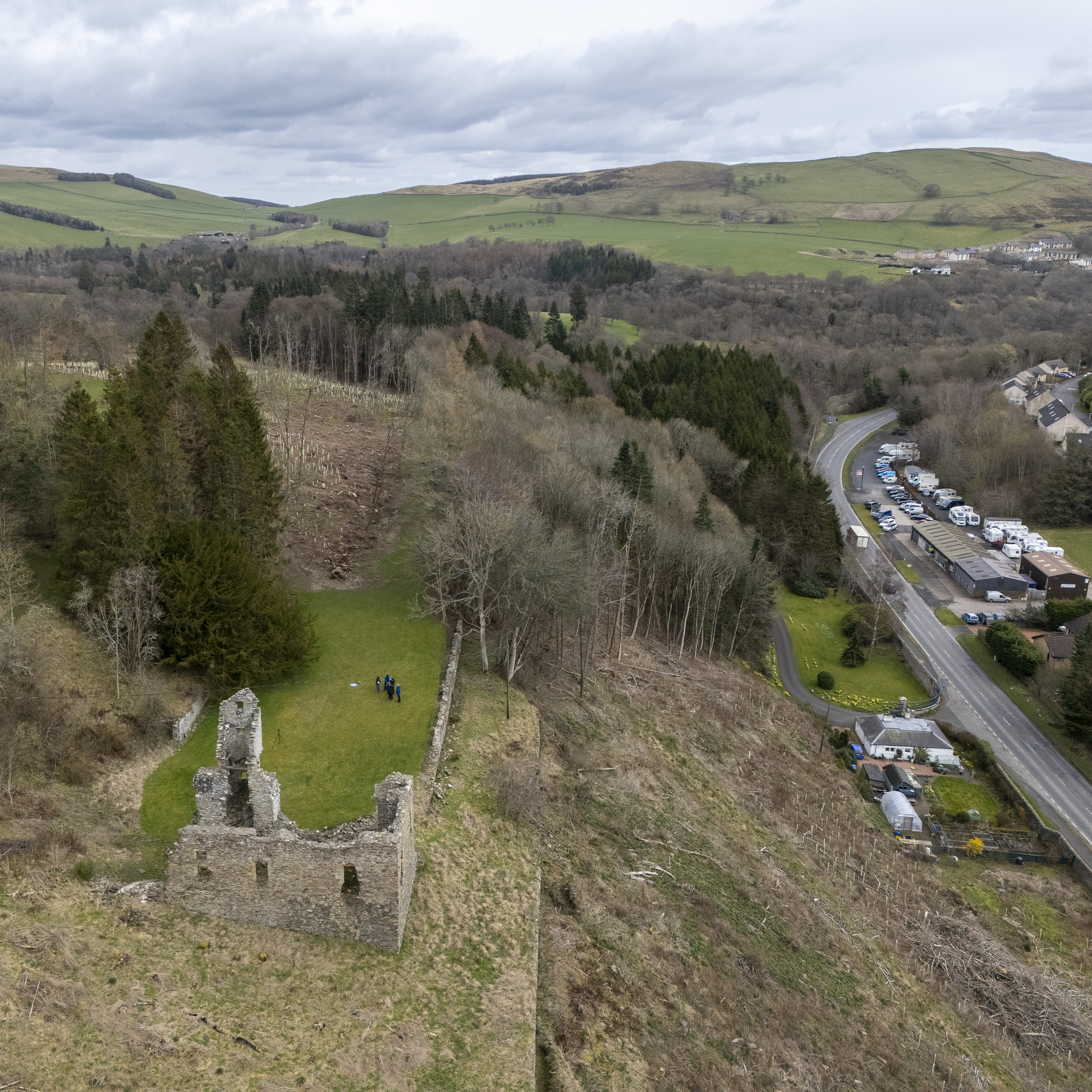
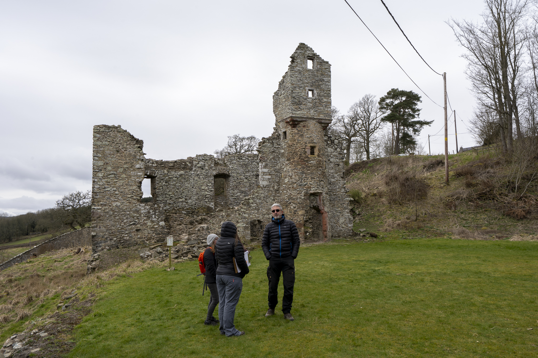
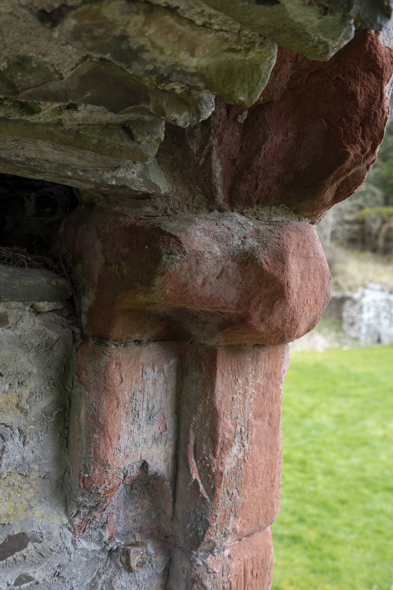
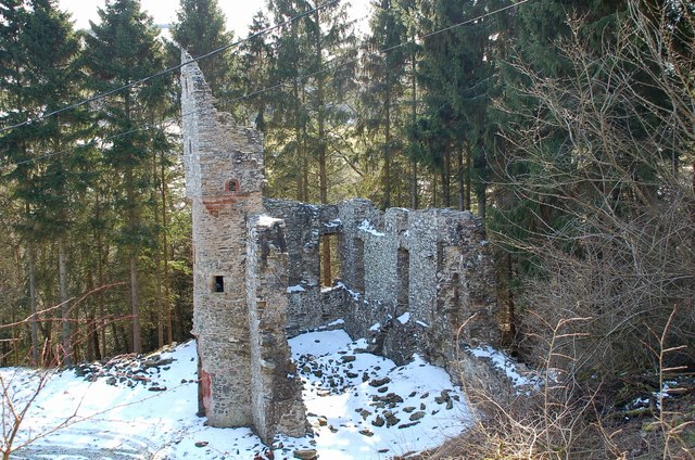
Torwoodlee Tower was built by George Pringle and dates from 1601 and is now a roofless shell; it precedes an earlier more defensive tower house which was sacked in 1568. It was later abandoned in the 18th century. Located a short distance on the rise of a hill above the A72 between Clovenfords and Galashiels, the trees that previously inhabited the bank below have recently been felled, allowing an attractive view of the castle from the road, and a renewed glimpse of the terraced walls with bee-boles within them. The rebuilt tower was built less as a defensive tower and more of a comfortable family home. Recent turmoil in Scotland had died down and threats of sackings from rival clans and reivers had eased.
Whytbank Tower
Whytbank Tower is a largely rebuilt tower house located near Clovenfords. The earlier castle was constructed in the 16th century as a typical tower house, a monolith set high in the landscape with commanding views. Up until the 1980s, it survived as a ruin, together with its ancillary domestic complex to its east and south, until it was rebuilt between 1988-1992. The original tower house was probably abandoned in the late 18th or early 19th century when Alexander Pringle, the owner of the lands at the time, built a new house nearby.
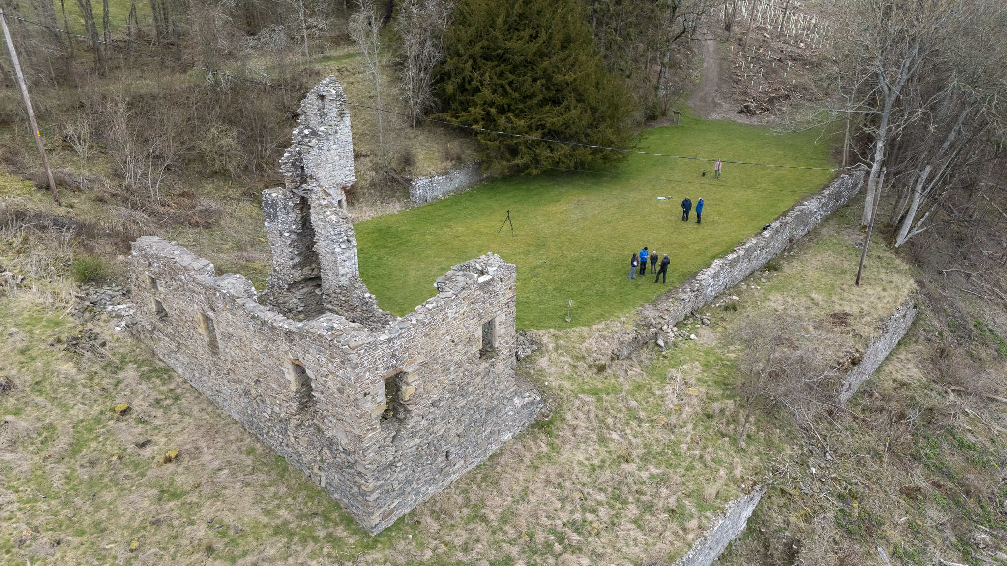
We were keen to learn more about the ancillary structures, which are now roofless ruins and set much further to the east and south of the tower, with landscaped gardens even further to the east, which show a lot of signs of phasing and blockings showing its complex history.
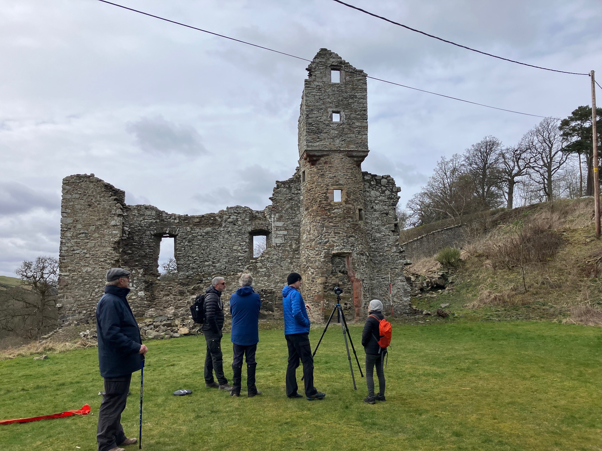
Our drone survey, tied into a photographic record, allowed us to create a three-dimensional interactive model of the tower, which you can explore below.
If you are interested in further reading around the subject, here are some useful references:
- Read the SESARF chapter on Medieval High Status Residences
- Chambers W 1864 A History of Peeblesshire, W & R Chambers: Edinburgh
- Dunbar, J G 1966 The Historic Architecture of Scotland, B T Batsford: London
- Simpson, W D 1961 ‘The Tower Houses of Scotland’, in Jope, E M (ed) 1961 Studies in Building History, Odhams press Limited: London, pp. 229 ‐ 242