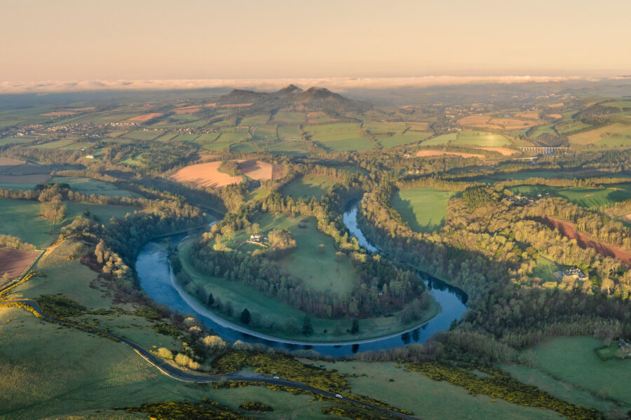
The geology of the River Tweed catchment is both diverse and historically significant, playing a key role in the development of modern geological science.
The River Tweed flows through a landscape shaped by ancient rocks, glacial activity, and tectonic forces. Its catchment forms a horseshoe-shaped rim of hills surrounding a flatter basin, with a mix of sedimentary, volcanic, and igneous rocks, the river’s path showcases the dynamic history of our planet.
The Tweed was a focal point for much of the pioneering work in the field of geology in the 18th century as it has high ecological diversity due to the mixed geology of the catchment. Features including Siccar point on the Berwickshire coast, fossils of the Silurian and Ordovician rocks at Dobb’s Linn, near Grey Mare’s Tail, and the plate tectonics which formed the river were all subjects of study for geologists such as Hutton, Lapworth, Peach and Horne.
The river is now classified as both a Site of Special Scientific Interest (SSSI) and a Special Area of Conservation (SAC) due to its ecological diversity, including rare aquatic plants and a strong Atlantic salmon population.